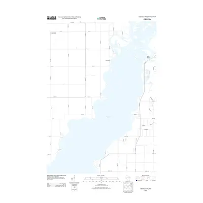
2013 Map of Arkdale NW
USGS Topo · Published 2013About this map
Petenwell Lake dominates this central Wisconsin landscape, its sprawling waters defining the geography between Big Flats and the surrounding Adams County woodlands. Along the eastern shore, the settlement of New Rome serves as a focal point for local development, situated near the confluence where Fourteenmile Creek enters the lake. The shoreline is marked by distinctive terrain features such as Yellow Banks and Halls Point, which help orient those navigating the water.
Find a feature on this map
49 named features on this map. Tap any name to fly to it.
Don’t see what you’re looking for? This feature index may not catch every label — zoom into the map to look around manually.
Map Details
Editions of this 2013 Arkdale NW Map
This is the sole edition of this map. No revisions or reprints were ever made.
Other maps of this area

1953 · Eau Claire
USGS Topo · 1:250,000

1955 · Green Bay
USGS Topo · 1:250,000

1957 · Wisconsin Rapids
USGS Topo · 1:48,000

1957 · Pittsville
USGS Topo · 1:48,000

1958 · Eau Claire
USGS Topo · 1:250,000

1958 · Arkdale
USGS Topo · 1:48,000

1958 · Necedah
USGS Topo · 1:48,000

1964 · Eau Claire
USGS Topo · 1:250,000

1967 · Roche A Cri
USGS Topo · 1:24,000

1967 · Arkdale NE
USGS Topo · 1:24,000