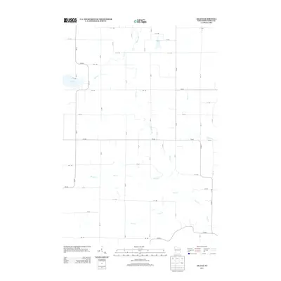
2013 Map of Arland
USGS Topo · Published 2013About this map
Turtle Creek winds through the rural landscape of Barron County, defining the drainage patterns of a region shaped by glacial activity and a strict rectilinear grid of section-line roads. This survey illustrates the agricultural character of the area, where farmsteads are accessed via numbered avenues and streets like 11 1/2 Ave and 5th St. Water remains the primary geographical marker, with Big Moon Lake and Moon Creek in the west, and Musket Lake sitting just south of the northern boundary. The hydrography is extensive, with numerous small tributaries including Silver Creek, Jones Creek, and Tainter Creek feeding into the larger local watershed. This network of creeks and small lakes suggests a landscape that has remained dedicated to steady agricultural production and rural residency into the early 21st century.
Find a feature on this map
41 named features on this map. Tap any name to fly to it.
Don’t see what you’re looking for? This feature index may not catch every label — zoom into the map to look around manually.
Map Details
Editions of this 2013 Arland Map
This is the sole edition of this map. No revisions or reprints were ever made.
Other maps of this area

1948 · Downing
USGS Topo · 1:62,500

1949 · Ridgeland
USGS Topo · 1:62,500

1950 · Downing
USGS Topo · 1:62,500

1950 · Turtle Lake
USGS Topo · 1:62,500

1951 · Ridgeland
USGS Topo · 1:62,500

1951 · Barron
USGS Topo · 1:62,500

1952 · Turtle Lake
USGS Topo · 1:62,500

1953 · Rice Lake
USGS Topo · 1:250,000

1953 · Stillwater
USGS Topo · 1:250,000

1955 · Stillwater
USGS Topo · 1:250,000