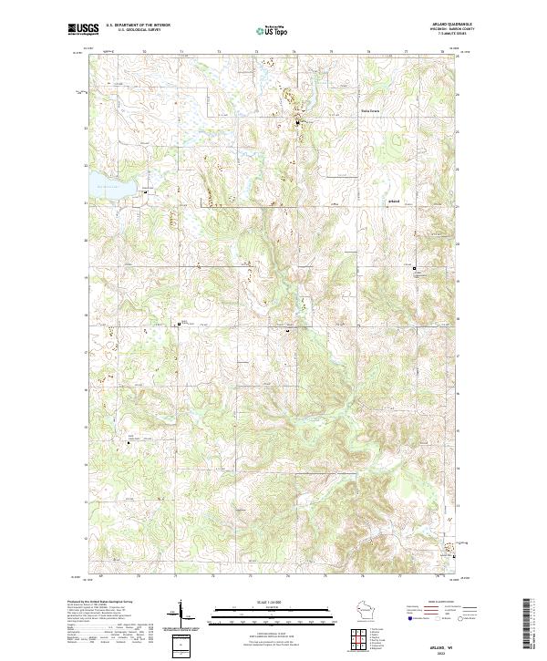
2022 Map of Arland
USGS Topo · Published 2022About this map
Arland and the neighboring settlement of Twin Town anchor this western Wisconsin landscape, where the terrain is defined by a dense network of glacial drainage. The map reveals an intricate pattern of small creeks, including Turtle Cr, Moon Cr, and Tainter Cr, that weave between low hills and wetlands. This area of Barron County is notable for its high density of rural burial grounds, such as the Arland Independent Cem and Mount Hope Cem, which often represent the only remaining physical markers of early family homesteads and the original parish communities. The prevalence of these sites, alongside others like Saint Charles Cem and Saint Johns Cem, suggests a deeply rooted agricultural history where community life centered around local churches and family plots. The hydrography, featuring bodies like Big Moon Lake and Musket Lake, continues to dictate the local road grid, which often bends to accommodate the winding creek beds and marshy depressions.
Find a feature on this map
40 named features on this map. Tap any name to fly to it.
Don’t see what you’re looking for? This feature index may not catch every label — zoom into the map to look around manually.
Map Details
Editions of this 2022 Arland Map
This is the sole edition of this map. No revisions or reprints were ever made.
Historical Maps of Twin Town Through Time
18 maps found
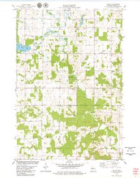
1978 Arland
Barron County, WI
1978 Dority Creek
Barron County, WI
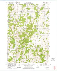
1978 Moose Ear Lake
Barron County, WI
1978 Poskin
Barron County, WI
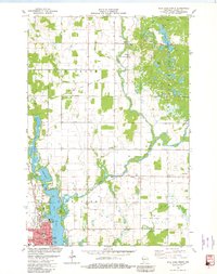
1978 Rice Lake South
Barron County, WI
1978 Strickland
Barron County, WI
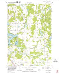
1981 Mikana
Barron County, WI
1981 Rice Lake North
Barron County, WI
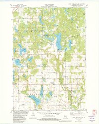
1982 Lower Vermillion Lake
Barron County, WI
2022 Arland
Barron County, WI
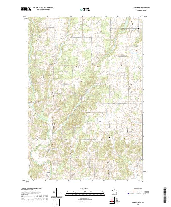
2022 Dorrity Creek
Barron County, WI
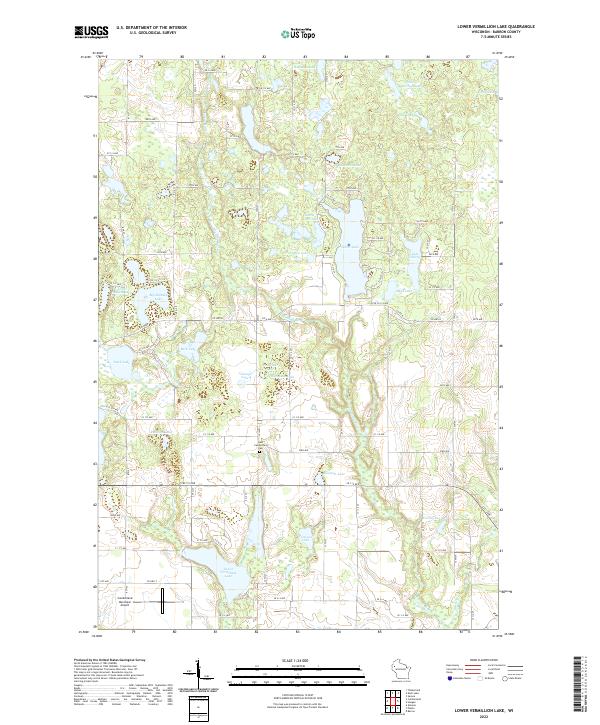
2022 Lower Vermillion Lake
Barron County, WI
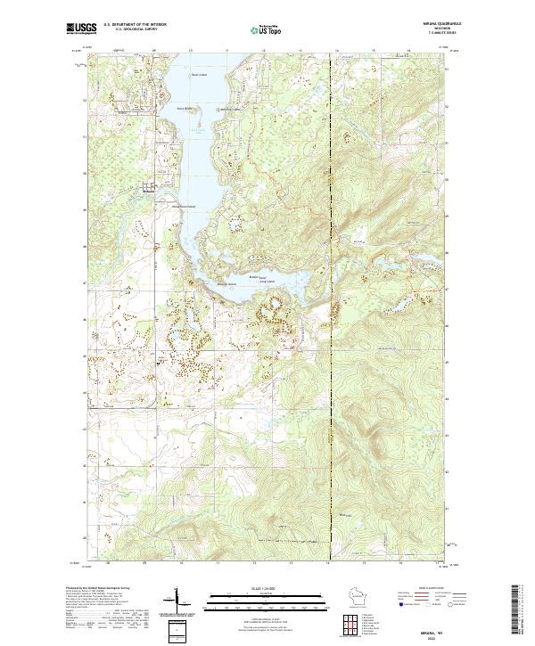
2022 Mikana
Barron County, WI
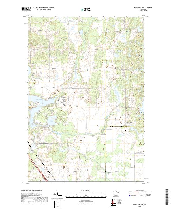
2022 Moose Ear Lake
Barron County, WI
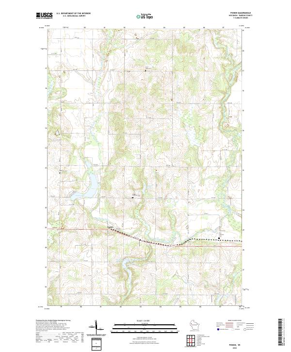
2022 Poskin
Barron County, WI
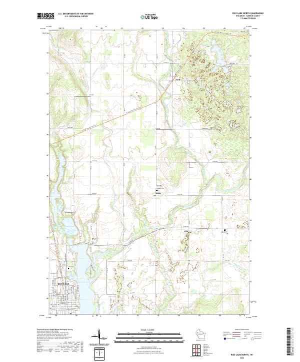
2022 Rice Lake North
Barron County, WI
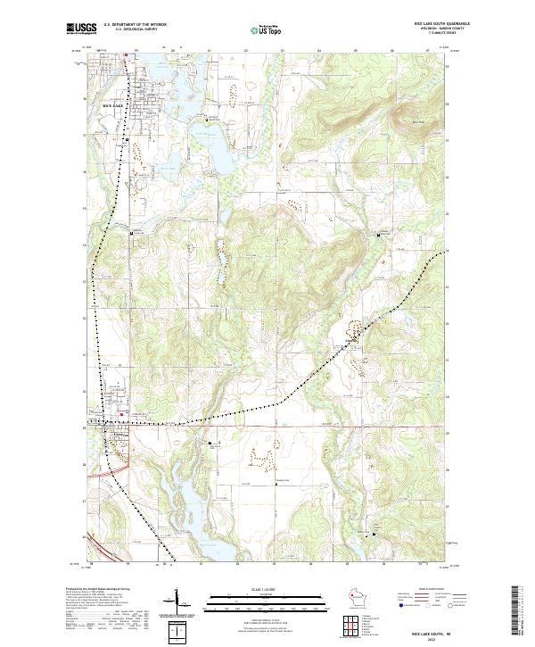
2022 Rice Lake South
Barron County, WI
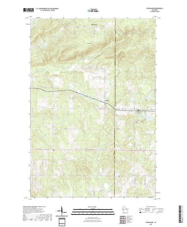
2022 Strickland
Barron County, WI