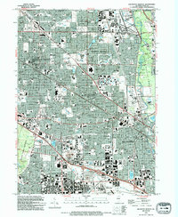
1993 Map of Arlington Heights
USGS Topo · Published 1994About this map
Arlington Heights and its surrounding Cook County suburbs are shown in a state of high development, where residential growth meets heavy infrastructure near the Chicago city limits. The landscape is defined by its transition from the dense street grids of Wheeling and Des Plaines to the expansive recreational and conservation land of the County Forest Preserve. Significant educational and religious institutions anchor these communities, including Roosevelt University and the Holy Family Convent.
Find a feature on this map
82 named features on this map. Tap any name to fly to it.
Don’t see what you’re looking for? This feature index may not catch every label — zoom into the map to look around manually.
Map Details
Editions of this 1993 Arlington Heights Map
This is the sole edition of this map. No revisions or reprints were ever made.
Other maps of this area

1891 · Riverside
USGS Topo · 1:62,500

1893 · Riverside
USGS Topo · 1:62,500

1900 · Riverside
USGS Topo · 1:62,500

1900 · Highwood
USGS Topo · 1:62,500

1901 · Riverside
USGS Topo · 1:62,500

1908 · Wheaton
USGS Topo · 1:62,500

1923 · Barrington
USGS Topo · 1:62,500

1927 · Arlington Heights
USGS Topo · 1:24,000

1928 · Elmhurst
USGS Topo · 1:24,000

1928 · Wheeling
USGS Topo · 1:24,000