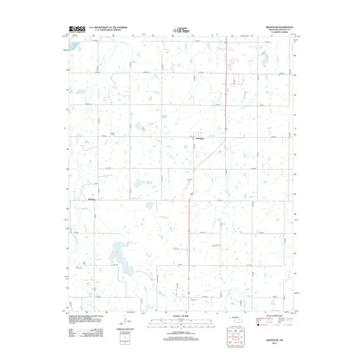
2013 Map of Arlington
USGS Topo · Published 2013About this map
Arlington and the nearby settlement of Wilzetta anchor this Lincoln County landscape, showing the rural grid system that defines the region north of Prague. The terrain is defined by the drainage basins of Robinson Cr and Warsham Cr, which feed into local water management projects like the Robinson Creek Site Number 2 Reservoir. A significant portion of the southern quadrant is occupied by the expansive Prague Lake, accessed by Lake Rd and Mule Dr.
Find a feature on this map
41 named features on this map. Tap any name to fly to it.
Don’t see what you’re looking for? This feature index may not catch every label — zoom into the map to look around manually.
Map Details
Editions of this 2013 Arlington Map
This is the sole edition of this map. No revisions or reprints were ever made.
Other maps of this area

1896 · Seminole and Prague
USGS Topo · 1:125,000

1905 · Chandler
USGS Topo · 1:62,500

1907 · Chandler
USGS Topo · 1:62,500

1909 · Shawnee
USGS Topo · 1:62,500

1929 · Stroud
USGS Topo · 1:62,500

1932 · Stroud
USGS Topo · 1:62,500

1954 · Oklahoma City
USGS Topo · 1:250,000

1957 · Oklahoma City
USGS Topo · 1:250,000

1963 · Oklahoma City
USGS Topo · 1:250,000

1967 · Prague NE
USGS Topo · 1:24,000