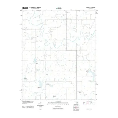
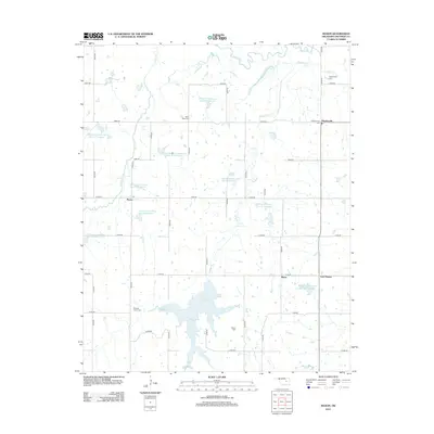
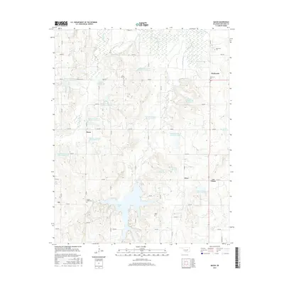
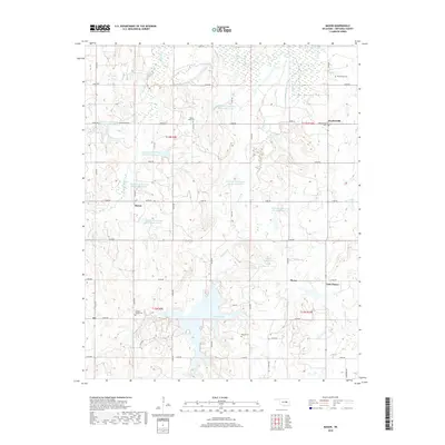
1967 Map of Prague NE
USGS Topo · Published 1968About this map
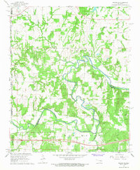
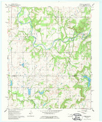
The North Canadian River meanders across this rural section of Okfuskee County, carving deep oxbows and loops through the landscape. The river serves as a natural divider, notably forming the boundary line between Okfuskee and Seminole counties. High ground is marked by Red Mound in the southern portion of the sheet, while the northern terrain is crisscrossed by several tributaries including South Creek and Fifteen Creek. Social and spiritual centers of the late 1960s are evident in the placement of Vanzant Ch, Pleasant Hill Ch, and the Shady Grove Cem. The map reveals an area defined by its geological resources and agricultural patterns, with numerous Gravel Pits and Oil Wells scattered near the watercourses and local landmarks like Flat Rock Spring.
Find a feature on this map
23 named features on this map. Tap any name to fly to it.
Don’t see what you’re looking for? This feature index may not catch every label — zoom into the map to look around manually.
Map Details
Editions of this 1967 Prague NE Map
This is the sole edition of this map. No revisions or reprints were ever made.
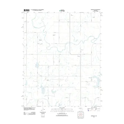
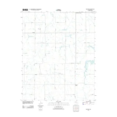
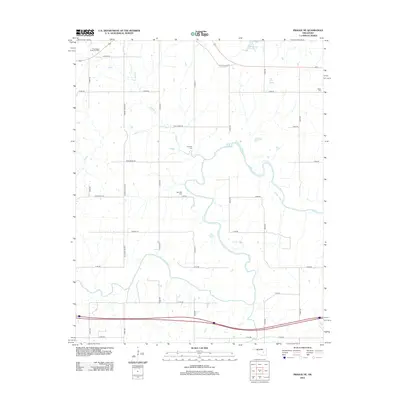
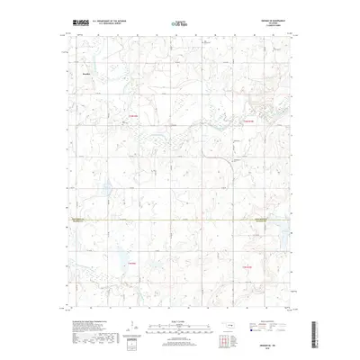
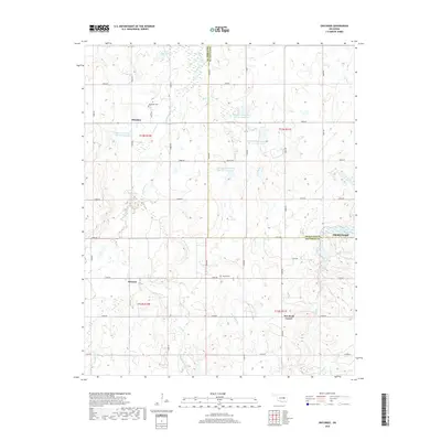
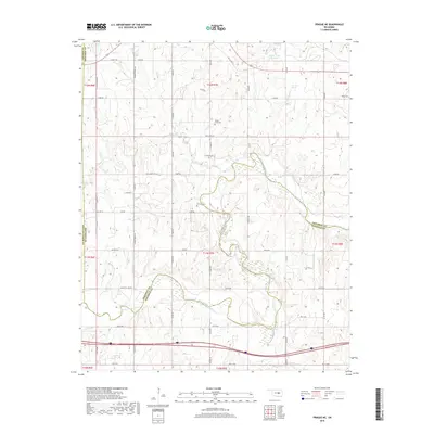
Historical Maps of Paden Through Time
24 maps found
1967 Okemah SE
Okfuskee County, OK
1967 Prague NE
Okfuskee County, OK
1973 Mason
Okfuskee County, OK
1973 Okfuskee
Okfuskee County, OK
2009 Okemah SE
Okfuskee County, OK
2010 Mason
Okfuskee County, OK
2010 Okfuskee
Okfuskee County, OK
2010 Prague NE
Okfuskee County, OK
2012 Mason
Okfuskee County, OK
2012 Okemah SE
Okfuskee County, OK
2012 Okfuskee
Okfuskee County, OK
2012 Prague NE
Okfuskee County, OK
2016 Mason
Okfuskee County, OK
2016 Okemah SE
Okfuskee County, OK
2016 Okfuskee
Okfuskee County, OK
2016 Prague NE
Okfuskee County, OK
2018 Mason
Okfuskee County, OK
2018 Okemah SE
Okfuskee County, OK
2018 Okfuskee
Okfuskee County, OK
2018 Prague NE
Okfuskee County, OK
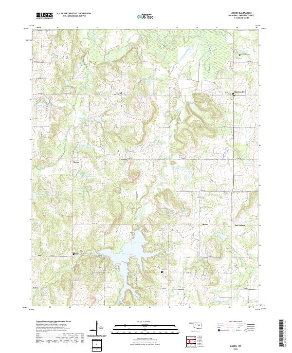
2022 Mason
Okfuskee County, OK
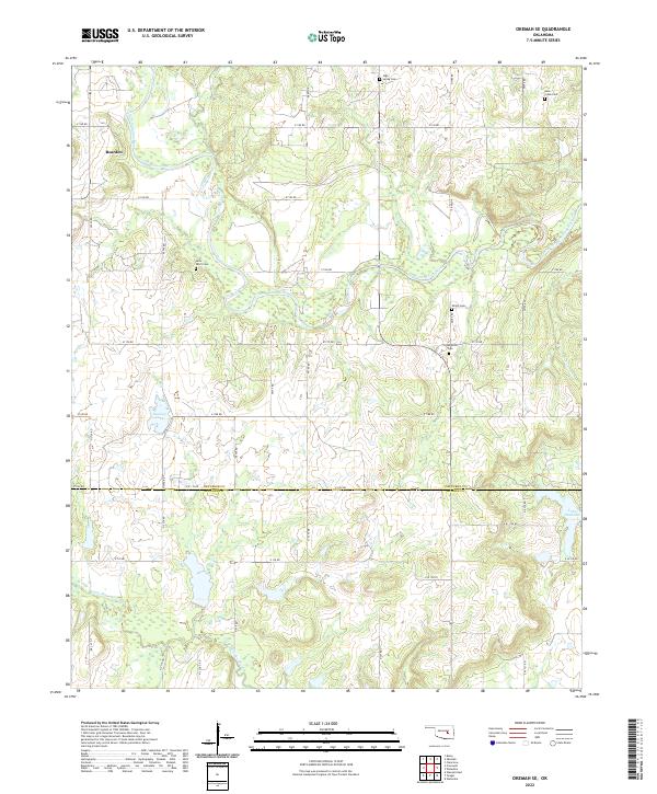
2022 Okemah SE
Okfuskee County, OK
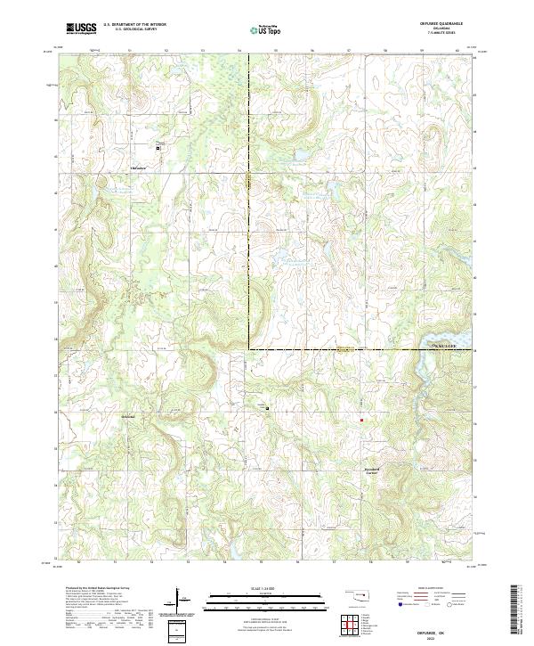
2022 Okfuskee
Okfuskee County, OK
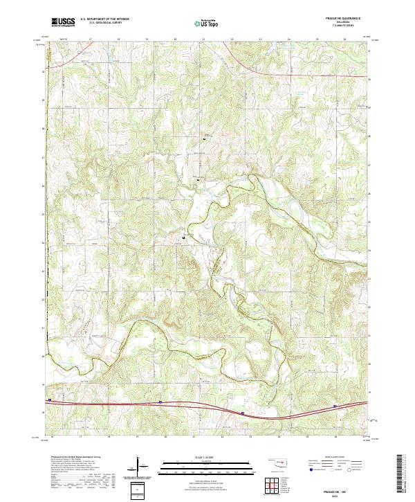
2022 Prague NE
Okfuskee County, OK