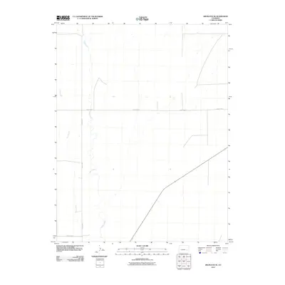
2010 Map of Arlington NE
USGS Topo · Published 2010About this map
Adobe Creek winds through the high plains of Kiowa County, carving a subtle drainage pattern across an otherwise open landscape. This portion of eastern Colorado is defined by its wide, semi-arid stretches and a geometric grid of rural access ways, including County Road P and County Rd 9. The presence of ephemeral watercourses like Johns Creek highlights the drainage network that dictates the movement and agricultural potential of the region. The map reflects a modern rural environment where historic land divisions persist through a network of maintained local roads such as County Road J, providing a clear look at the infrastructure supporting this corner of the state during the early 21st century.
Find a feature on this map
5 named features on this map. Tap any name to fly to it.
Don’t see what you’re looking for? This feature index may not catch every label — zoom into the map to look around manually.
Map Details
Editions of this 2010 Arlington NE Map
This is the sole edition of this map. No revisions or reprints were ever made.
Other maps of this area

1891 · Arroyo
USGS Topo · 1:125,000

1891 · Las Animas
USGS Topo · 1:125,000

1893 · Arroyo
USGS Topo · 1:125,000

1893 · Las Animas
USGS Topo · 1:125,000

1954 · Lamar
USGS Topo · 1:250,000

1958 · Lamar
USGS Topo · 1:250,000

1974 · Haswell
USGS Topo · 1:24,000

1974 · Arlington NE
USGS Topo · 1:24,000
1978 · Long Lake
USGS Topo · 1:24,000
1978 · Arlington
USGS Topo · 1:24,000