
1974 Map of Arlington NE
USGS Topo · Published 1978About this map
Adobe Creek winds through the high plains of Kiowa County in this 1974 survey, defining the drainage patterns of an arid landscape dominated by ranching and rail. The waterway's meandering path is the central topographic feature, joined by Johns Creek to the south. This era of the Eastern Plains is marked by the presence of the Missouri Pacific railroad, which cuts a diagonal line across the southeastern corner of the quadrangle. Several isolated wells are noted across the sections, reflecting the essential infrastructure required for livestock and life in this dry grassland environment. The map captures a moment in the mid-1970s when the rural landscape remained largely defined by the original section lines and the vital connection of the transcontinental rail line.
Find a feature on this map
5 named features on this map. Tap any name to fly to it.
Don’t see what you’re looking for? This feature index may not catch every label — zoom into the map to look around manually.
Map Details
Editions of this 1974 Arlington NE Map
This is the sole edition of this map. No revisions or reprints were ever made.
Other maps of this area

1891 · Arroyo
USGS Topo · 1:125,000

1891 · Las Animas
USGS Topo · 1:125,000

1893 · Arroyo
USGS Topo · 1:125,000

1893 · Las Animas
USGS Topo · 1:125,000

1954 · Lamar
USGS Topo · 1:250,000

1958 · Lamar
USGS Topo · 1:250,000

1974 · Haswell
USGS Topo · 1:24,000
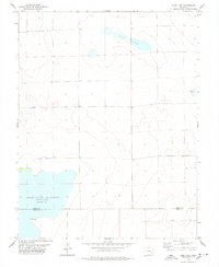
1978 · Long Lake
USGS Topo · 1:24,000
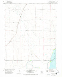
1978 · Arlington
USGS Topo · 1:24,000
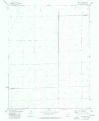
1978 · Galatea SW
USGS Topo · 1:24,000