
1974 Map of Haswell
USGS Topo · Published 1978About this map
Haswell serves as the central hub of this High Plains landscape during the mid-1970s, situated along the vital corridor of the Missouri Pacific railroad. The town layout reflects a community centered on local activity and communication, featuring a concentrated area with an Athletic Field, Rodeo Ground, and several radio installations including a prominent Radio Tower. The surrounding terrain is largely defined by its utility and infrastructure, marked by a scattering of Well and Wells for water access and several Gravel Pit excavations that suggest ongoing local road maintenance or construction. Beyond the immediate settlement, the map identifies specific geographic points like Mopa and the Radio Horizon, illustrating how electronic communication and rail transport dictated the spatial organization of this Kiowa County region.
Find a feature on this map
11 named features on this map. Tap any name to fly to it.
Don’t see what you’re looking for? This feature index may not catch every label — zoom into the map to look around manually.
Map Details
Editions of this 1974 Haswell Map
This is the sole edition of this map. No revisions or reprints were ever made.
Other maps of this area

1891 · Arroyo
USGS Topo · 1:125,000

1891 · Las Animas
USGS Topo · 1:125,000

1893 · Arroyo
USGS Topo · 1:125,000

1893 · Las Animas
USGS Topo · 1:125,000

1954 · Lamar
USGS Topo · 1:250,000

1958 · Lamar
USGS Topo · 1:250,000
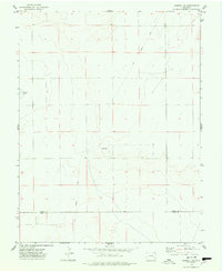
1974 · Haswell SE
USGS Topo · 1:24,000

1974 · Arlington NE
USGS Topo · 1:24,000
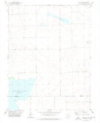
1978 · Long Lake
USGS Topo · 1:24,000
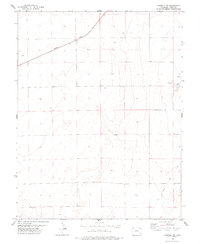
1978 · Haswell NE
USGS Topo · 1:24,000