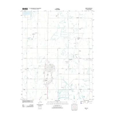
2012 Map of Arma
USGS Topo · Published 2012About this map
Franklin and Croweburg sit at the heart of this Crawford County landscape, where a dense network of sectional roads connects numerous small communities. The settlement pattern reveals the legacy of the region's mining and agricultural past, with places like Breezy Hill, Fox Town, and Curranville clustered in the southeast. While many of these named locales represent small residential clusters or former coal camps, the landscape is also shaped by more modern infrastructure, such as the Youvan Airport and the Bone Creek Reservoir in the northwest corner. Genealogists will find value in the clear marking of the Englevale Cem and the Garden of Memories Cem. Small watercourses like First Cow Cr and Cox Cr wind through the grid, and local landmarks such as Bunker Hill and Scotts Camp provide specific points of reference for local historians.
Find a feature on this map
79 named features on this map. Tap any name to fly to it.
Don’t see what you’re looking for? This feature index may not catch every label — zoom into the map to look around manually.
Map Details
Editions of this 2012 Arma Map
This is the sole edition of this map. No revisions or reprints were ever made.
Other maps of this area

1884 · Fort Scott
USGS Topo · 1:125,000

1886 · Joplin
USGS Topo · 1:125,000

1886 · Fort Scott
USGS Topo · 1:125,000

1893 · Fort Scott
USGS Topo · 1:125,000

1894 · Joplin
USGS Topo · 1:125,000

1943 · Cherokee
USGS Topo · 1:62,500

1945 · Pittsburg
USGS Topo · 1:62,500

1945 · Cherokee
USGS Topo · 1:62,500

1947 · Joplin
USGS Topo · 1:250,000

1947 · Pittsburg
USGS Topo · 1:62,500