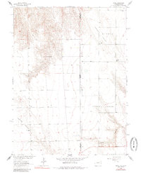
1963 Map of Armel
USGS Topo · Published 1985About this map
The settlement of Armel and its surrounding agricultural landscape define this high plains borderland during the early 1960s. Located near the intersection of the Colorado-Kansas line and the Yuma-Cheyenne county boundary, the area is marked by a network of ranching and early community infrastructure. Rural life centers on the Lansing Valley, where the Lansing Valley Sch and Lansing Valley Ranch anchor the local geography.
Find a feature on this map
17 named features on this map. Tap any name to fly to it.
Don’t see what you’re looking for? This feature index may not catch every label — zoom into the map to look around manually.
Map Details
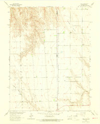
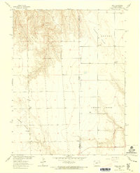
Editions of this 1963 Armel Map
3 editions found
Other maps of this area

1942 · St. Francis
USGS Topo · 1:62,500

1943 · St. Francis
USGS Topo · 1:62,500

1950 · Bonny Reservoir
USGS Topo · 1:62,500

1951 · St Francis
USGS Topo · 1:62,500

1952 · St Francis 3
USGS Topo · 1:62,500

1954 · Limon
USGS Topo · 1:250,000

1954 · Goodland
USGS Topo · 1:250,000

1956 · Goodland
USGS Topo · 1:250,000

1957 · Limon
USGS Topo · 1:250,000

1957 · Goodland
USGS Topo · 1:250,000