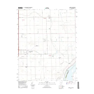
2014 Map of Armorel
USGS Topo · Published 2014About this map
The Mississippi River defines the eastern edge of this landscape, where the state boundary between Arkansas and Tennessee follows the river's winding course. The terrain is a complex network of agricultural drainage, marked by numerous engineered waterways such as Ditch Number 30 and Ditch Number 44 that crisscross the flat delta lands. Settlement is concentrated around Blytheville and its outlying communities like Armorel and Number Nine.
Find a feature on this map
74 named features on this map. Tap any name to fly to it.
Don’t see what you’re looking for? This feature index may not catch every label — zoom into the map to look around manually.
Map Details
Editions of this 2014 Armorel Map
This is the sole edition of this map. No revisions or reprints were ever made.
Other maps of this area

1939 · Hales Point
USGS Topo · 1:62,500

1939 · Caruthersville
USGS Topo · 1:62,500

1939 · Blytheville
USGS Topo · 1:62,500

1940 · Hayti
USGS Topo · 1:62,500

1951 · Caruthersville
USGS Topo · 1:62,500

1952 · Hales Point
USGS Topo · 1:62,500

1955 · Hayti
USGS Topo · 1:62,500

1955 · Blytheville
USGS Topo · 1:62,500

1956 · Dyersburg
USGS Topo · 1:250,000

1956 · Blytheville
USGS Topo · 1:250,000