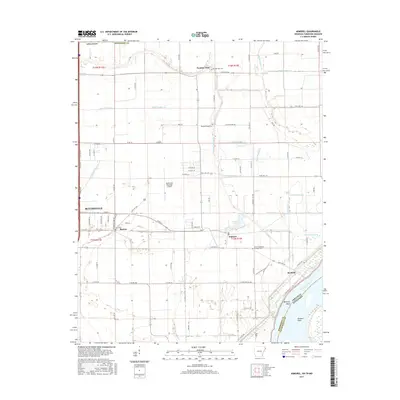
2017 Map of Armorel
USGS Topo · Published 2017About this map
The Mississippi River defines the eastern edge of this landscape, winding past Barfield Bend and Ruckers Point where the Arkansas and Tennessee borders meet. Inland, the terrain is dominated by an extensive network of managed waterways, including Crooked Lake Bayou and numerous numbered ditches like Ditch Number 44 and Ditch Number 30, illustrating the region's historical reliance on drainage for agriculture. The eastern outskirts of Blytheville serve as a primary hub, with State Hwy 18 and E Main St connecting the city to the smaller settlements of Burton and Armorel. Local history is anchored by several burial grounds, such as the Number Nine Cem near the community of Number Nine and the African Methodist Episcopal Cem, while the Blytheville Municipal Airport marks a significant modern landmark north of the city center.
Find a feature on this map
37 named features on this map. Tap any name to fly to it.
Don’t see what you’re looking for? This feature index may not catch every label — zoom into the map to look around manually.
Map Details
Editions of this 2017 Armorel Map
This is the sole edition of this map. No revisions or reprints were ever made.
Other maps of this area

1939 · Hales Point
USGS Topo · 1:62,500

1939 · Caruthersville
USGS Topo · 1:62,500

1939 · Blytheville
USGS Topo · 1:62,500

1940 · Hayti
USGS Topo · 1:62,500

1951 · Caruthersville
USGS Topo · 1:62,500

1952 · Hales Point
USGS Topo · 1:62,500

1955 · Hayti
USGS Topo · 1:62,500

1955 · Blytheville
USGS Topo · 1:62,500

1956 · Dyersburg
USGS Topo · 1:250,000

1956 · Blytheville
USGS Topo · 1:250,000