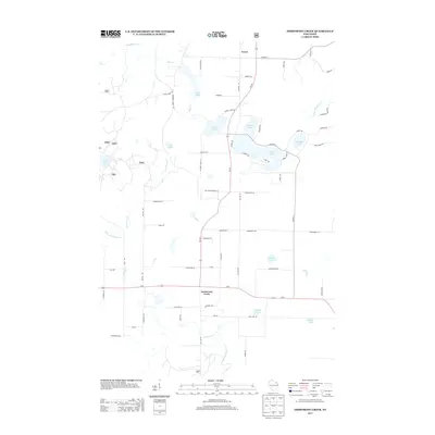
2013 Map of Armstrong Creek
USGS Topo · Published 2013About this map
Armstrong Creek serves as a central hub in this northern Wisconsin landscape, situated at the intersection of US-8 and Wi-101. The map reveals a region defined by its glacial lakes and narrow watercourses, with the settlement of Fence appearing to the north. Water dominates the eastern half of the quadrangle, where Hilbert Lake, Oneonta Lake, and LaFaye Lake are clustered. These water bodies, along with the Popple River to the northwest, suggest a landscape tied to seasonal recreation and local natural resources.
Find a feature on this map
74 named features on this map. Tap any name to fly to it.
Don’t see what you’re looking for? This feature index may not catch every label — zoom into the map to look around manually.
Map Details
Editions of this 2013 Armstrong Creek Map
This is the sole edition of this map. No revisions or reprints were ever made.
Other maps of this area

1939 · Goodman
USGS Topo · 1:48,000

1939 · Laona
USGS Topo · 1:48,000

1939 · Long Lake
USGS Topo · 1:48,000

1941 · Florence
USGS Topo · 1:48,000

1946 · Laona
USGS Topo · 1:48,000

1946 · Goodman
USGS Topo · 1:48,000

1948 · Long Lake
USGS Topo · 1:48,000

1954 · Iron Mountain
USGS Topo · 1:250,000

1959 · Iron Mountain
USGS Topo · 1:250,000
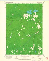
1962 · Florence SW
USGS Topo · 1:24,000