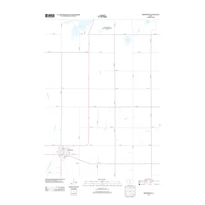
2013 Map of Armstrong
USGS Topo · Published 2013About this map
Armstrong serves as the primary hub of this northern Iowa landscape, situated where several local routes converge near the E Fork Des Moines River. The town's layout includes a detailed grid of streets and avenues, with the Country Greens Golf Course located on its eastern edge. Beyond the settled area, the terrain is defined by a managed water system and conservation lands, most notably the Iowa Lake Marsh State Game Management Area in the north.
Find a feature on this map
44 named features on this map. Tap any name to fly to it.
Don’t see what you’re looking for? This feature index may not catch every label — zoom into the map to look around manually.
Map Details
Editions of this 2013 Armstrong Map
This is the sole edition of this map. No revisions or reprints were ever made.
Other maps of this area

1954 · Fairmont
USGS Topo · 1:250,000

1958 · Fairmont
USGS Topo · 1:250,000

1967 · East Chain
USGS Topo · 1:24,000

1967 · Wilmert Lake
USGS Topo · 1:24,000

1970 · Wilbert
USGS Topo · 1:24,000

1980 · Seneca
USGS Topo · 1:24,000

1980 · Armstrong
USGS Topo · 1:24,000

1980 · Ringsted
USGS Topo · 1:24,000

1980 · Swea City
USGS Topo · 1:24,000

1980 · Armstrong SE
USGS Topo · 1:24,000