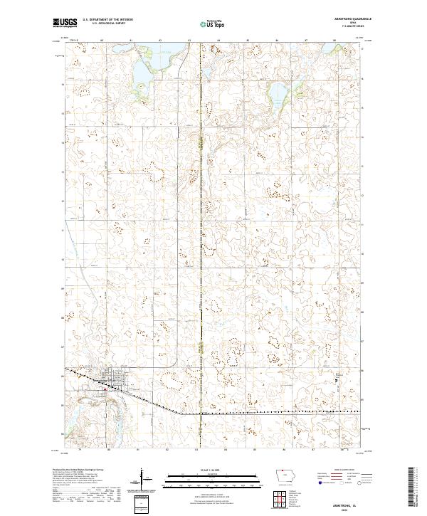
2022 Map of Armstrong
USGS Topo · Published 2022About this map
The town of Armstrong serves as the focal point of this northern Iowa landscape, situated near the confluence of local drainage systems and the East Fork Des Moines River. This survey illustrates a highly organized agricultural grid defined by numerous county roads and avenues that cross the boundary between Emmet Co and Kossuth Co. The geography is characterized by several significant water bodies, including Iowa Lake on the northern border and the marshy expanses of Goose Lake. These natural features are integrated into a network of managed waterways like Ditch Number 35, reflecting the region's long-standing reliance on land drainage for farming. On the eastern edge of the quadrangle, the Swea Township Cem provides a point of genealogical interest within the rural landscape, while the interior is drained by the winding course of Mud Cr.
Find a feature on this map
46 named features on this map. Tap any name to fly to it.
Don’t see what you’re looking for? This feature index may not catch every label — zoom into the map to look around manually.
Map Details
Editions of this 2022 Armstrong Map
This is the sole edition of this map. No revisions or reprints were ever made.
Other maps of this area

1954 · Fairmont
USGS Topo · 1:250,000

1958 · Fairmont
USGS Topo · 1:250,000

1967 · East Chain
USGS Topo · 1:24,000

1967 · Wilmert Lake
USGS Topo · 1:24,000

1970 · Wilbert
USGS Topo · 1:24,000

1980 · Seneca
USGS Topo · 1:24,000

1980 · Armstrong
USGS Topo · 1:24,000

1980 · Ringsted
USGS Topo · 1:24,000

1980 · Swea City
USGS Topo · 1:24,000

1980 · Armstrong SE
USGS Topo · 1:24,000