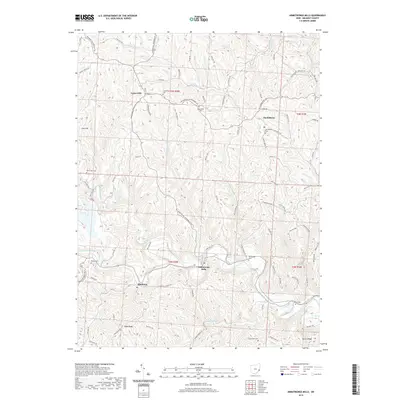
2019 Map of Armstrongs Mills
USGS Topo · Published 2019About this map
Captina Creek meanders through the heart of this Belmont County landscape, shaping the development of settlements like Armstrongs Mills and Alledonia. The terrain is defined by a dense network of high ridges and deep stream valleys, with roads such as Belmont Centerville Rd and Jacobsburg-Key Rd following the natural contours of the land. This 2019 survey provides an excellent resource for genealogical research, documenting numerous burial sites across the township including Scatterday Cem, Perkins Cem, and Bend Fork Cem. The map illustrates a largely rural character where small communities like Centerville and Jacobsburg remain focal points of local activity. To the west, the prominence of Cool Hill overlooks the winding Millers Run, while to the south, Pugh Ridge and Dover Ridge mark the transition between the various rural townships.
Find a feature on this map
93 named features on this map. Tap any name to fly to it.
Don’t see what you’re looking for? This feature index may not catch every label — zoom into the map to look around manually.
Map Details
Editions of this 2019 Armstrongs Mills Map
This is the sole edition of this map. No revisions or reprints were ever made.
Other maps of this area

1903 · Flushing
USGS Topo · 1:62,500

1905 · Clarington
USGS Topo · 1:62,500

1905 · St. Clairsville
USGS Topo · 1:62,500

1905 · Woodsfield
USGS Topo · 1:62,500

1905 · Flushing
USGS Topo · 1:62,500

1935 · Clarington
USGS Topo · 1:62,500

1940 · Clarington
USGS Topo · 1:62,500

1949 · Clarksburg
USGS Topo · 1:250,000

1951 · Canton
USGS Topo · 1:250,000

1953 · Canton
USGS Topo · 1:250,000