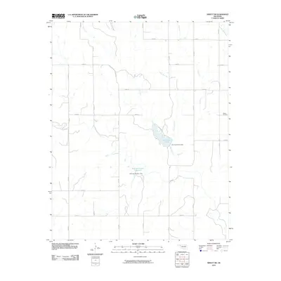
2010 Map of Arnett SW
USGS Topo · Published 2010About this map
Allmon Cemetery stands on the eastern edge of this western Oklahoma landscape, serving as a primary point of interest for genealogists and local historians exploring Ellis County. The area is defined by a dendritic network of seasonal and perennial waterways, including Coon Creek, Hog Creek, and West Hog Creek, which feed into local man-made water bodies. Significant water management features are central to the terrain, specifically Lake Lloyd Vincent and its associated Lake Lloyd Vincent Dam, as well as the Stobough Number 1 Reservoir held by the Stobough Number 1 Dam. This 2010 survey illustrates the characteristic section-line road grid typical of the Great Plains, featuring a series of numbered routes such as n1720 RD and e0650 RD that partition the ranching and agricultural lands between the creek valleys.
Find a feature on this map
25 named features on this map. Tap any name to fly to it.
Don’t see what you’re looking for? This feature index may not catch every label — zoom into the map to look around manually.
Map Details
Editions of this 2010 Arnett SW Map
This is the sole edition of this map. No revisions or reprints were ever made.
Other maps of this area

1954 · Perryton
USGS Topo · 1:250,000

1954 · Amarillo
USGS Topo · 1:250,000

1955 · Clinton
USGS Topo · 1:250,000

1955 · Woodward
USGS Topo · 1:250,000

1957 · Clinton
USGS Topo · 1:250,000

1958 · Perryton
USGS Topo · 1:250,000

1958 · Woodward
USGS Topo · 1:250,000

1958 · Amarillo
USGS Topo · 1:250,000

1966 · Antelope Hills NE
USGS Topo · 1:24,000

1966 · Antelope Hills
USGS Topo · 1:24,000