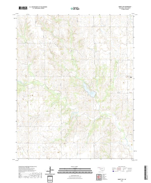
2022 Map of Arnett SW
USGS Topo · Published 2022About this map
Lake Lloyd Vincent and the adjacent Stobough Number 1 Reservoir anchor this landscape in western Oklahoma. The area is defined by the dendritic drainage patterns of several local waterways, including Coon Cr, Commission Cr, and Hog Cr. This network of creeks cuts through the terrain, suggesting a landscape primarily shaped by seasonal water flow and livestock ranching. The presence of the Allmon Cem in the northeastern section provides a specific point of interest for genealogists tracing local families in Ellis County.
Find a feature on this map
35 named features on this map. Tap any name to fly to it.
Don’t see what you’re looking for? This feature index may not catch every label — zoom into the map to look around manually.
Map Details
Editions of this 2022 Arnett SW Map
This is the sole edition of this map. No revisions or reprints were ever made.
Other maps of this area

1954 · Perryton
USGS Topo · 1:250,000

1954 · Amarillo
USGS Topo · 1:250,000

1955 · Clinton
USGS Topo · 1:250,000

1955 · Woodward
USGS Topo · 1:250,000

1957 · Clinton
USGS Topo · 1:250,000

1958 · Perryton
USGS Topo · 1:250,000

1958 · Woodward
USGS Topo · 1:250,000

1958 · Amarillo
USGS Topo · 1:250,000

1966 · Antelope Hills NE
USGS Topo · 1:24,000

1966 · Antelope Hills
USGS Topo · 1:24,000