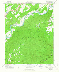
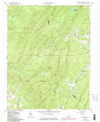
1961 Map of Arnold Valley
USGS Topo · Published 1963This historical map portrays the area of Arnold Valley in 1961, primarily covering Botetourt County as well as portions of Rockbridge County and Bedford County. Featuring a scale of 1:24000, this map provides a highly detailed snapshot of the terrain, roads, buildings, counties, and historical landmarks in the Arnold Valley region at the time. Published in 1963, it is one of 3 known editions of this map due to revisions or reprints.
Find a feature on this map
76 named features on this map. Tap any name to fly to it.
Don’t see what you’re looking for? This feature index may not catch every label — zoom into the map to look around manually.
Map Details
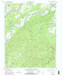
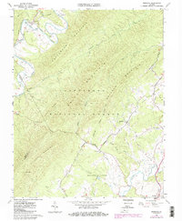
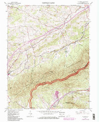
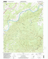
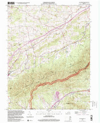
Editions of this 1961 Arnold Valley Map
3 editions found
Historical Maps of Natural Bridge Station Through Time
11 maps found

1894 Natural Bridge
Botetourt County, VA
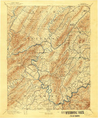
1894 Rockbridge
Botetourt County, VA
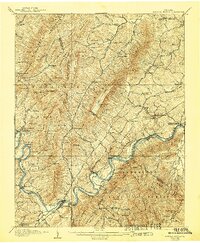
1907 Natural Bridge
Botetourt County, VA
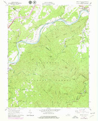
1961 Arnold Valley
Botetourt County, VA
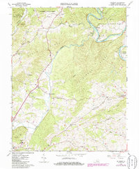
1962 Oriskany
Botetourt County, VA
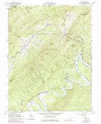
1962 Salisbury
Botetourt County, VA
1962 Strom
Botetourt County, VA
1962 Sugarloaf Mtn
Botetourt County, VA
1963 Villamont
Botetourt County, VA
1999 Arnold Valley
Botetourt County, VA
1999 Villamont
Botetourt County, VA