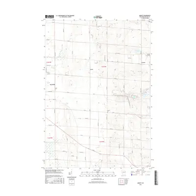
2015 Map of Arnott
USGS Topo · Published 2015About this map
Arnott and the village of Fancher serve as central nodes in this rural Portage County landscape, defined by a transition from the western glacial outwash plains to the eastern moraines. The topography is dotted with kettle lakes such as Thomas Lake, Bear Lake, and Adams Lake, which are characteristic of this glaciated region. Family and community history is preserved at Morrill Cem and the Saint Mary of Mount Carmel Cem, while the Little Plover River drains the western reaches near the boundary of Plover. Modern recreational patterns emerge through the Standing Rock Off Road Bike Trails near the center of the sheet. The map also captures the agricultural irrigation network of the Central Sands, illustrated by features like the Isherwood Lateral.
Find a feature on this map
65 named features on this map. Tap any name to fly to it.
Don’t see what you’re looking for? This feature index may not catch every label — zoom into the map to look around manually.
Map Details
Editions of this 2015 Arnott Map
This is the sole edition of this map. No revisions or reprints were ever made.
Other maps of this area

1955 · Rosholt
USGS Topo · 1:48,000

1955 · Green Bay
USGS Topo · 1:250,000

1956 · Stevens Point
USGS Topo · 1:48,000

1957 · Amherst
USGS Topo · 1:48,000

1957 · Whiting
USGS Topo · 1:48,000
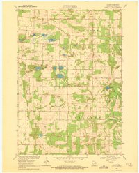
1969 · Blaine
USGS Topo · 1:24,000

1969 · New Hope
USGS Topo · 1:24,000

1969 · Arnott
USGS Topo · 1:24,000
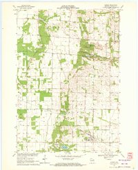
1969 · Almond
USGS Topo · 1:24,000
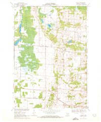
1969 · Polonia
USGS Topo · 1:24,000