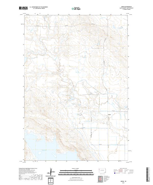
2021 Map of Arpan
USGS Topo · Published 2021About this map
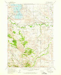
The small settlement of Arpan serves as a focal point in this portion of Butte County, situated just north of the expansive Belle Fourche Reservoir. The landscape is defined by an intricate network of water management, where natural drainages like Indian Cr and Lonetree Cr are supplemented by man-made irrigation infrastructure. Labels for the Arpan Lateral, Young Lateral, and Laflamme Lateral illustrate the complex system of water distribution vital to this high plains environment.
Find a feature on this map
26 named features on this map. Tap any name to fly to it.
Don’t see what you’re looking for? This feature index may not catch every label — zoom into the map to look around manually.
Map Details
Editions of this 2021 Arpan Map
This is the sole edition of this map. No revisions or reprints were ever made.
Other maps of this area

1905 · Saint Onge
USGS Topo · 1:62,500

1905 · Indian
USGS Topo · 1:62,500

1906 · Two Top
USGS Topo · 1:62,500

1907 · Belle Fourche
USGS Topo · 1:125,000

1907 · Redwater
USGS Topo · 1:62,500
1951 · Nisland
USGS Topo · 1:24,000

1953 · Rapid City
USGS Topo · 1:250,000
1954 · Belle Fourche
USGS Topo · 1:24,000
1954 · Fruitdale
USGS Topo · 1:24,000
1954 · Saint Onge
USGS Topo · 1:62,500