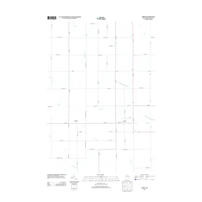
2013 Map of Arpin
USGS Topo · Published 2013About this map
Arpin serves as the primary hub in this central Wood County landscape, situated at the intersection of Co Hwy-N and Wi-186. The geography is defined by a dense network of watercourses, including the winding North Fork Hemlock Cr and Hemlock Cr which converge to the east of the main settlement. To the west, the community of Bethel sits along Co Hwy-T, marking a distinct residential pocket amidst the surrounding agricultural land. North of the town center, Berryland Farm highlights the area's continued connection to rural production. This 2013 survey illustrates how modern highway infrastructure and local corridors like Arpin Richfield Rd follow the long-established grid of the region, providing a detailed look at the rural property divisions and drainage patterns formed by Mill Cr and Puff Cr.
Find a feature on this map
46 named features on this map. Tap any name to fly to it.
Don’t see what you’re looking for? This feature index may not catch every label — zoom into the map to look around manually.
Map Details
Editions of this 2013 Arpin Map
This is the sole edition of this map. No revisions or reprints were ever made.
Other maps of this area

1953 · Eau Claire
USGS Topo · 1:250,000

1954 · Marshfield
USGS Topo · 1:62,500

1955 · Green Bay
USGS Topo · 1:250,000

1956 · Milladore
USGS Topo · 1:48,000

1957 · Wisconsin Rapids
USGS Topo · 1:48,000

1957 · Pittsville
USGS Topo · 1:48,000

1958 · Eau Claire
USGS Topo · 1:250,000

1964 · Eau Claire
USGS Topo · 1:250,000

1967 · Wisconsin Rapids
USGS Topo · 1:62,500

1967 · Pittsville
USGS Topo · 1:62,500