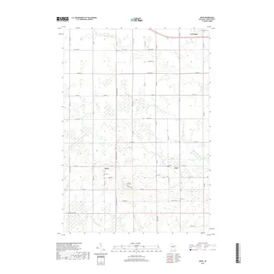
2018 Map of Arpin
USGS Topo · Published 2018About this map
Arpin and the surrounding Wood County countryside are defined by a meticulous grid of rural roads and a complex network of branching waterways. Several small burial grounds, including the Bethel Cem and the uniquely named John Ne- Wee Cem, are scattered across the landscape, providing vital anchors for family historians. The northern edge of the map features Auburndale near Mill Cr, while the southern reaches are drained by the meandering Hemlock Cr and its tributaries.
Find a feature on this map
52 named features on this map. Tap any name to fly to it.
Don’t see what you’re looking for? This feature index may not catch every label — zoom into the map to look around manually.
Map Details
Editions of this 2018 Arpin Map
This is the sole edition of this map. No revisions or reprints were ever made.
Other maps of this area

1953 · Eau Claire
USGS Topo · 1:250,000

1954 · Marshfield
USGS Topo · 1:62,500

1955 · Green Bay
USGS Topo · 1:250,000

1956 · Milladore
USGS Topo · 1:48,000

1957 · Wisconsin Rapids
USGS Topo · 1:48,000

1957 · Pittsville
USGS Topo · 1:48,000

1958 · Eau Claire
USGS Topo · 1:250,000

1964 · Eau Claire
USGS Topo · 1:250,000

1967 · Wisconsin Rapids
USGS Topo · 1:62,500

1967 · Pittsville
USGS Topo · 1:62,500