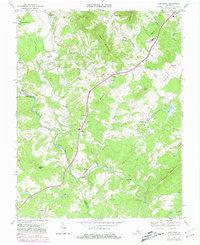
1969 Map of Arrington
USGS Topo · Published 1981About this map
The Tye River and Southern railroad line carve a central path through this Nelson County landscape, where the foothills of the Virginia Blue Ridge meet the rolling uplands of Piedmont Virginia. The settlement of Arrington serves as a local hub near Nelson Lake, while further south, the historic crossing at New Glasgow marks the border between Amherst and Nelson counties. The map captures a transition in local infrastructure, with several rural churches such as White Rock Ch and St Stephens Ch dotting the ridges between Cabel Mountain and Turner Mountain. Industrial activity is evident in the Quarries located near the southern edge of the sheet, while the educational landscape is anchored by the County High Sch. Notable for its complex drainage, the terrain is defined by the confluence of the Piney River, Black Creek, and Naked Creek, which flow toward the Tye's deep-cut valley.
Find a feature on this map
61 named features on this map. Tap any name to fly to it.
Don’t see what you’re looking for? This feature index may not catch every label — zoom into the map to look around manually.
Map Details
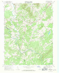
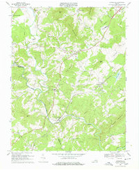
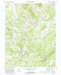
Editions of this 1969 Arrington Map
4 editions found
Other maps of this area

1892 · Buckingham
USGS Topo · 1:125,000

1894 · Lexington
USGS Topo · 1:125,000

1935 · Amherst
USGS Topo · 1:48,000

1936 · Vesuvius
USGS Topo · 1:48,000

1939 · Amherst
USGS Topo · 1:62,500

1941 · Vesuvius
USGS Topo · 1:62,500

1943 · Lovingston
USGS Topo · 1:62,500

1946 · Lovingston
USGS Topo · 1:62,500

1947 · Roanoke
USGS Topo · 1:250,000

1950 · Amherst
USGS Topo · 1:62,500