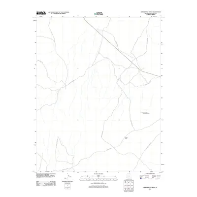
2011 Map of Arrowhead Mesa
USGS Topo · Published 2011About this map
Arrowhead Mesa rises above a high-desert landscape defined by sparse transportation corridors and striking geological formations. This 2011 topographic survey reveals a terrain sculpted by wind and time, featuring natural landmarks like Arrowhead Arch and Wind Rock. The area is navigated primarily via unpaved routes, including several stretches of Forest Service Rd and the more significant Indian Rte 21 which cuts across the southern portion of the quadrangle. The map captures a moment in the modern era where the land remains largely open, dominated by natural drainages and the expansive silhouette of the mesa itself.
Find a feature on this map
5 named features on this map. Tap any name to fly to it.
Don’t see what you’re looking for? This feature index may not catch every label — zoom into the map to look around manually.
Map Details
Editions of this 2011 Arrowhead Mesa Map
This is the sole edition of this map. No revisions or reprints were ever made.
Other maps of this area

1886 · Echo Cliffs
USGS Topo · 1:250,000

1891 · Echo Cliffs
USGS Topo · 1:250,000

1956 · Marble Canyon
USGS Topo · 1:250,000

1959 · Marble Canyon
USGS Topo · 1:250,000

1961 · Marble Canyon
USGS Topo · 1:250,000
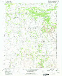
1981 · Big Whisker Well
USGS Topo · 1:24,000
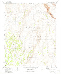
1981 · Horsethief Mesa
USGS Topo · 1:24,000
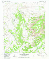
1981 · Kaibito
USGS Topo · 1:24,000
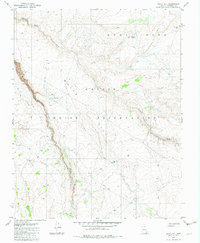
1982 · White Hill
USGS Topo · 1:24,000
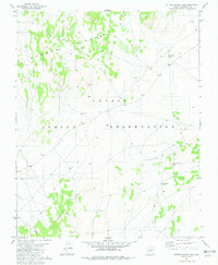
1982 · Sitting Coyote Hill
USGS Topo · 1:24,000