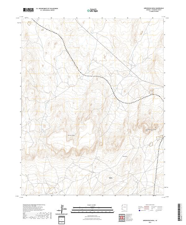
2021 Map of Arrowhead Mesa
USGS Topo · Published 2021About this map
Kaibito Plateau dominates this high-desert landscape in northern Arizona, characterized by a series of prominent geological formations and ridges. The topography is defined by the Mormon Ridges which cut across the central terrain, and the distinctive presence of Wind Rock to the southeast. These features provide a clear view of the erosion patterns typical of the region, where wind and water have sculpted the underlying rock over millennia.
Find a feature on this map
9 named features on this map. Tap any name to fly to it.
Don’t see what you’re looking for? This feature index may not catch every label — zoom into the map to look around manually.
Map Details
Editions of this 2021 Arrowhead Mesa Map
This is the sole edition of this map. No revisions or reprints were ever made.
Other maps of this area

1886 · Echo Cliffs
USGS Topo · 1:250,000

1891 · Echo Cliffs
USGS Topo · 1:250,000

1956 · Marble Canyon
USGS Topo · 1:250,000

1959 · Marble Canyon
USGS Topo · 1:250,000

1961 · Marble Canyon
USGS Topo · 1:250,000
1981 · Big Whisker Well
USGS Topo · 1:24,000
1981 · Horsethief Mesa
USGS Topo · 1:24,000
1981 · Kaibito
USGS Topo · 1:24,000
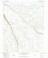
1982 · White Hill
USGS Topo · 1:24,000
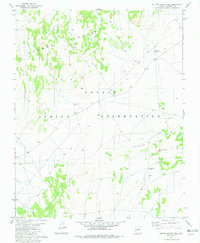
1982 · Sitting Coyote Hill
USGS Topo · 1:24,000