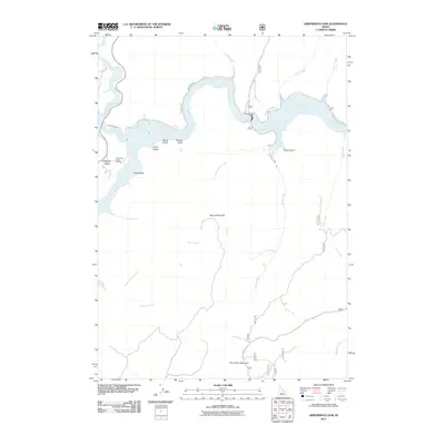
2011 Map of Arrowrock Dam
USGS Topo · Published 2011About this map
Arrowrock Dam anchors this high-desert landscape where the Boise River winds through deep canyons and meets its major tributaries. The 2011 survey documents a topography defined by steep drainage systems, including Mores Creek and Deep Creek, and prominent peaks such as Kepros Mountain and Three Point Mountain. The map illustrates the hydrological complexity of the region before the river flows toward the Boise metropolitan area, highlighting the early-stage infrastructure of the Lucky Peak Forest Nursery and the critical access provided by Arrowrock Rd and N Fork Boise River Rd. Gulches like Bend Gulch and Sams Gulch break the terrain, while the course of the river creates a massive reservoir system that transformed this part of Idaho. This study is an essential record of the water management systems and geography that dictate the Boise River basin's character.
Find a feature on this map
31 named features on this map. Tap any name to fly to it.
Don’t see what you’re looking for? This feature index may not catch every label — zoom into the map to look around manually.
Map Details
Editions of this 2011 Arrowrock Dam Map
This is the sole edition of this map. No revisions or reprints were ever made.
Other maps of this area

1892 · Mountain Home
USGS Topo · 1:125,000

1892 · Boise
USGS Topo · 1:125,000

1892 · Bisuka
USGS Topo · 1:125,000

1893 · Mountain Home
USGS Topo · 1:125,000

1894 · Bisuka
USGS Topo · 1:125,000

1894 · Idaho Basin
USGS Topo · 1:125,000

1897 · Boise
USGS Topo · 1:125,000

1949 · Robie Creek
USGS Topo · 1:24,000

1954 · Boise
USGS Topo · 1:62,500

1955 · Hailey
USGS Topo · 1:250,000