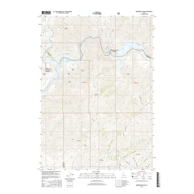
2017 Map of Arrowrock Dam
USGS Topo · Published 2017About this map
Arrowrock Dam and its accompanying Arrowrock Reservoir dominate the northern terrain, where the Boise River is managed for water storage and irrigation. This landscape is defined by its deep drainages and significant elevation changes, ranging from the canyon floor to high points such as Cervidae Peak and Kepros Mtn. The downstream impact of this water management system is visible at Lucky Peak Lake in the western portion of the map, illustrating the complex engineering of the Boise River basin.
Find a feature on this map
55 named features on this map. Tap any name to fly to it.
Don’t see what you’re looking for? This feature index may not catch every label — zoom into the map to look around manually.
Map Details
Editions of this 2017 Arrowrock Dam Map
This is the sole edition of this map. No revisions or reprints were ever made.
Other maps of this area

1892 · Mountain Home
USGS Topo · 1:125,000

1892 · Boise
USGS Topo · 1:125,000

1892 · Bisuka
USGS Topo · 1:125,000

1893 · Mountain Home
USGS Topo · 1:125,000

1894 · Bisuka
USGS Topo · 1:125,000

1894 · Idaho Basin
USGS Topo · 1:125,000

1897 · Boise
USGS Topo · 1:125,000

1949 · Robie Creek
USGS Topo · 1:24,000

1954 · Boise
USGS Topo · 1:62,500

1955 · Hailey
USGS Topo · 1:250,000