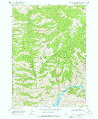
1969 Map of Arrowrock Reservoir NE
USGS Topo · Published 1977About this map
Boise National Forest dominates this mountain landscape, defined by the deep canyons and high ridges of the Boise River drainage. The 1969 field-checked survey shows the Arrowrock Reservoir at its normal pool elevation of 3216 feet, with markers indicating Mile 84, Mile 85, and Mile 87 along the Boise River channel. Notable for its recreation and forestry infrastructure, the map identifies the Cottonwood Ranger Sta and the Willow Creek Campground. High-elevation landmarks like Thorn Creek Butte and Mt Heinen tower over a network of drainages including Cottonwood Creek and the North Fork Thorn Creek. Foot travel is represented by the Bald Mtn Trail, while modern utility is noted at the Radio Facility near the reservoir's southern edge.
Find a feature on this map
43 named features on this map. Tap any name to fly to it.
Don’t see what you’re looking for? This feature index may not catch every label — zoom into the map to look around manually.
Map Details
Editions of this 1969 Arrowrock Reservoir NE Map
2 editions found
Other maps of this area

1894 · Idaho Basin
USGS Topo · 1:125,000

1955 · Hailey
USGS Topo · 1:250,000

1957 · Warm Springs Point
USGS Topo · 1:24,000

1957 · Idaho City
USGS Topo · 1:24,000

1959 · Hailey
USGS Topo · 1:250,000

1962 · Hailey
USGS Topo · 1:250,000

1964 · Twin Springs
USGS Topo · 1:24,000
1964 · Long Gulch
USGS Topo · 1:24,000

1969 · Dunnigan Creek
USGS Topo · 1:24,000
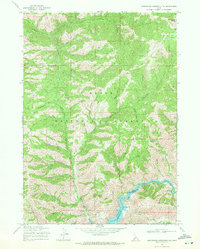
1969 · Arrowrock Reservoir NE
USGS Topo · 1:24,000