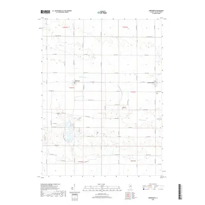
2018 Map of Arrowsmith
USGS Topo · Published 2018About this map
The Sangamon River meanders across this Central Illinois landscape, providing a primary drainage corridor near the agricultural communities of Ellsworth and Arrowsmith. This modern 2018 survey reveals a well-maintained grid of county roads that connects dispersed rural homesteads with important community landmarks. Recreation and conservation are centered around the prominent Dawson Lake within the boundaries of Moraine View State Park, a significant water feature in McLean County. Local family history is preserved through a series of small burial grounds, including the Frankeberger Cem and Dawson Cem. The survey further documents smaller tributaries like Money Cr and the specialized network of local routes such as Dirt Grass Rd, illustrating the intersection of natural waterways and modern infrastructure in the Illinois prairie.
Find a feature on this map
56 named features on this map. Tap any name to fly to it.
Don’t see what you’re looking for? This feature index may not catch every label — zoom into the map to look around manually.
Map Details
Editions of this 2018 Arrowsmith Map
This is the sole edition of this map. No revisions or reprints were ever made.
Other maps of this area

1926 · Normal
USGS Topo · 1:62,500

1930 · Normal
USGS Topo · 1:62,500

1951 · Le Roy
USGS Topo · 1:62,500

1952 · Arrowsmith
USGS Topo · 1:62,500

1957 · Colfax
USGS Topo · 1:62,500

1958 · Peoria
USGS Topo · 1:250,000

1961 · Peoria
USGS Topo · 1:250,000

1963 · Peoria
USGS Topo · 1:250,000
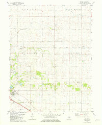
1981 · Holder
USGS Topo · 1:24,000
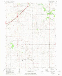
1981 · Merna
USGS Topo · 1:24,000