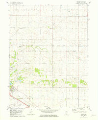
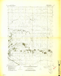
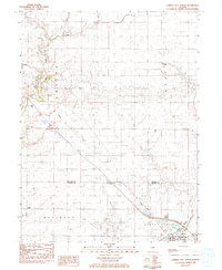
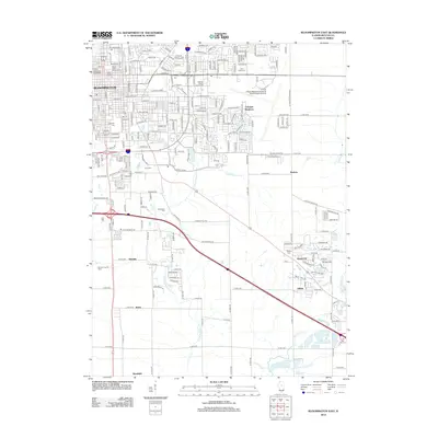
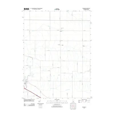
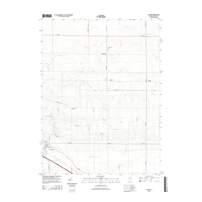
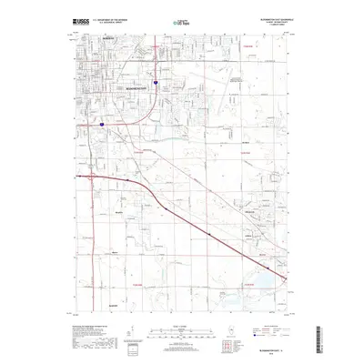
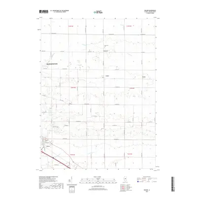
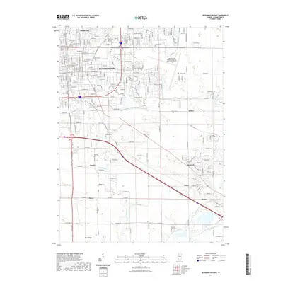
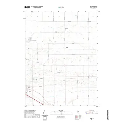
1981 Map of Holder
USGS Topo · Published 1981About this map
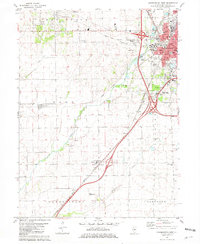
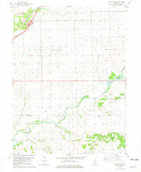
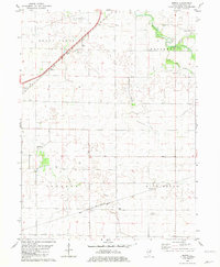
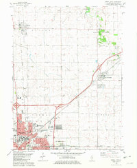
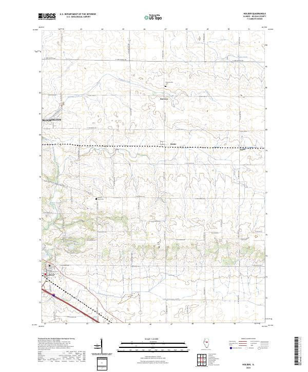
Kickapoo Creek and its tributaries define the rolling agricultural landscape of this central Illinois region, where a network of small settlements and rural institutions established the local social fabric. The village of Downs stands at a primary intersection of the Conrail and the Norfolk And Western railroads, which facilitated the transport of grain and local resources. Nearby, the historic community of Bentown and the station at Holder represent the era's dependence on rail connectivity.
Find a feature on this map
24 named features on this map. Tap any name to fly to it.
Don’t see what you’re looking for? This feature index may not catch every label — zoom into the map to look around manually.
Map Details
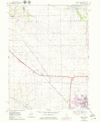
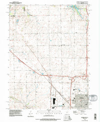
Editions of this 1981 Holder Map
2 editions found
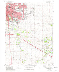
Historical Maps of Bloomington Through Time
52 maps found

1949 Mc Lean
McLean County, IL
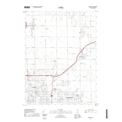
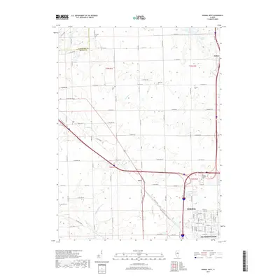
1970 Normal West
McLean County, IL
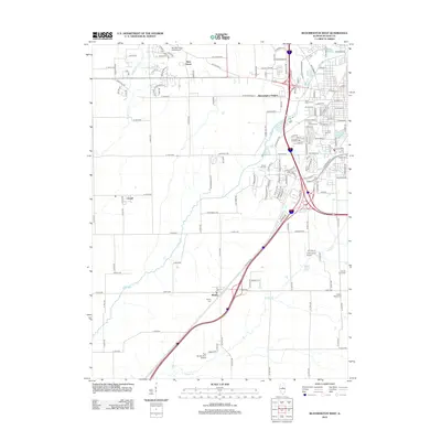
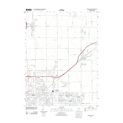
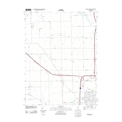
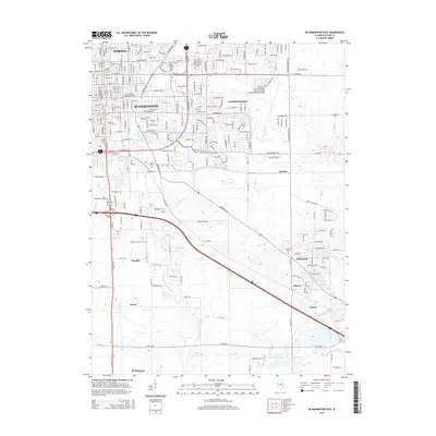
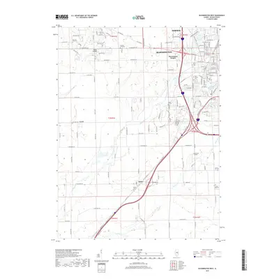
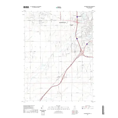
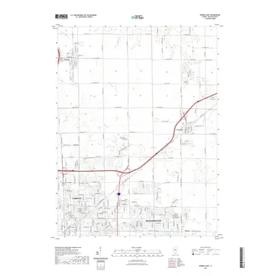
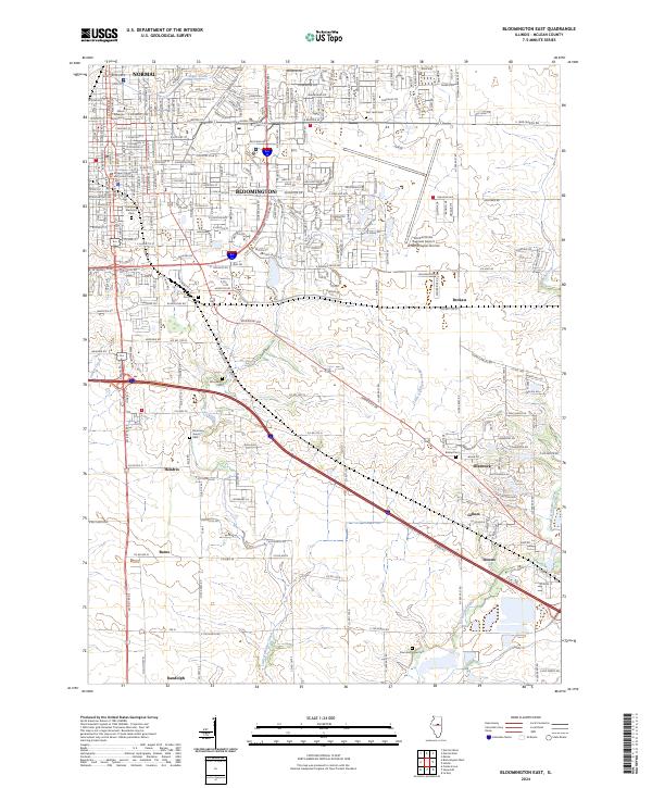
1981 Bloomington East
McLean County, IL
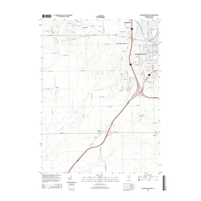
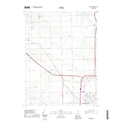
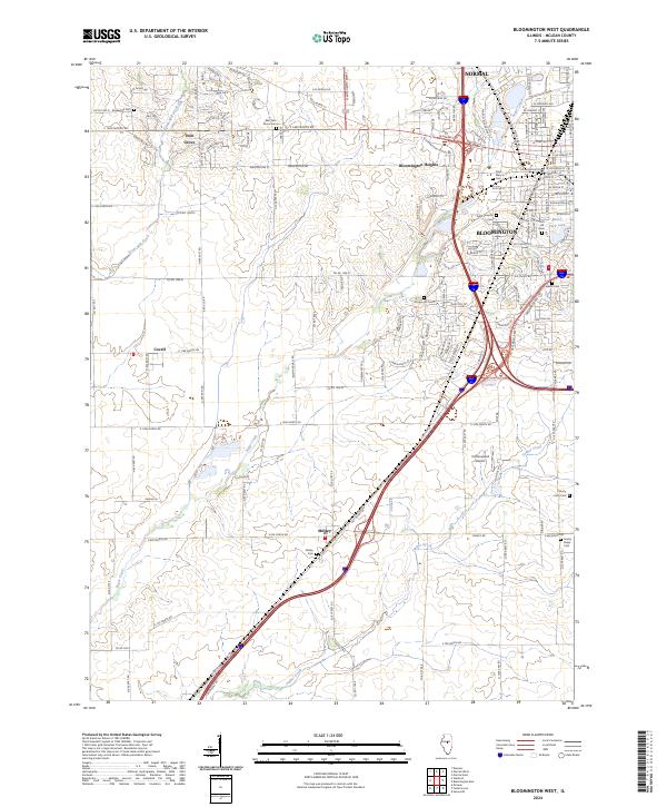
1981 Bloomington West
McLean County, IL
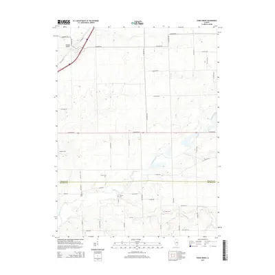
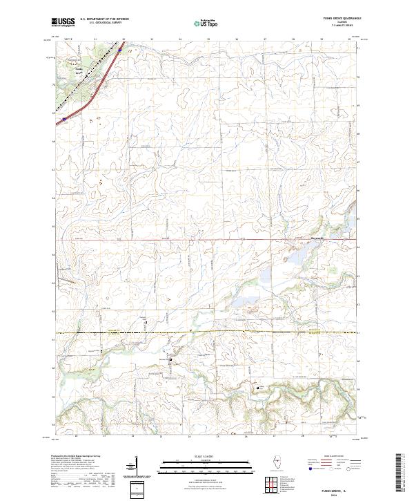
1981 Funks Grove
McLean County, IL
1981 Holder
McLean County, IL
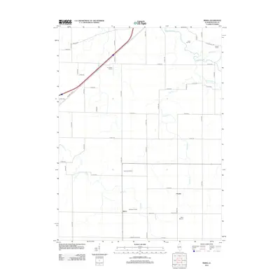
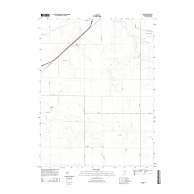
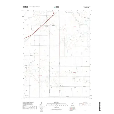
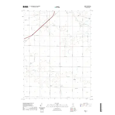
1981 Merna
McLean County, IL
1981 Normal East
McLean County, IL
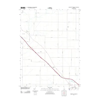
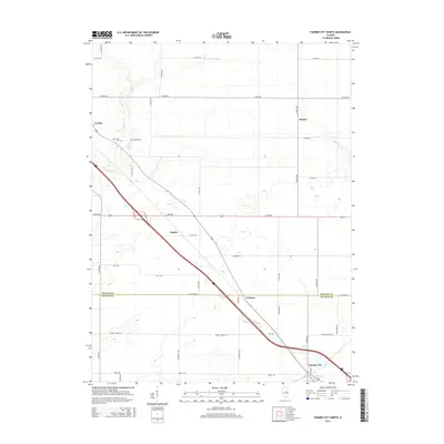
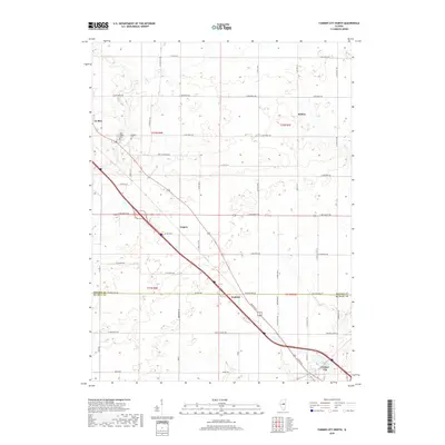
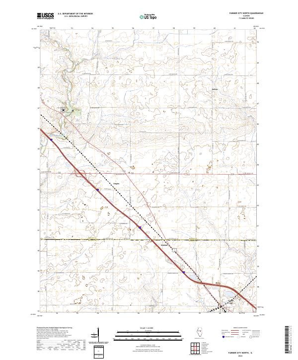
1983 Farmer City North
McLean County, IL
1995 Normal West
McLean County, IL
1998 Bloomington East
McLean County, IL
1998 Normal East
McLean County, IL
2012 Bloomington East
McLean County, IL
2012 Bloomington West
McLean County, IL
2012 Farmer City North
McLean County, IL
2012 Funks Grove
McLean County, IL
2012 Holder
McLean County, IL
2012 Merna
McLean County, IL
2012 Normal East
McLean County, IL
2012 Normal West
McLean County, IL
2015 Bloomington East
McLean County, IL
2015 Bloomington West
McLean County, IL
2015 Farmer City North
McLean County, IL
2015 Funks Grove
McLean County, IL
2015 Holder
McLean County, IL
2015 Merna
McLean County, IL
2015 Normal East
McLean County, IL
2015 Normal West
McLean County, IL
2018 Bloomington East
McLean County, IL
2018 Bloomington West
McLean County, IL
2018 Farmer City North
McLean County, IL
2018 Funks Grove
McLean County, IL
2018 Holder
McLean County, IL
2018 Merna
McLean County, IL
2018 Normal East
McLean County, IL
2018 Normal West
McLean County, IL
2021 Bloomington East
McLean County, IL
2021 Bloomington West
McLean County, IL
2021 Farmer City North
McLean County, IL
2021 Funks Grove
McLean County, IL
2021 Holder
McLean County, IL
2021 Merna
McLean County, IL
2021 Normal East
McLean County, IL
2021 Normal West
McLean County, IL
2024 Bloomington East
McLean County, IL
2024 Bloomington West
McLean County, IL
2024 Farmer City North
McLean County, IL
2024 Funks Grove
McLean County, IL
2024 Holder
McLean County, IL
2024 Merna
McLean County, IL
2024 Normal East
McLean County, IL
2024 Normal West
McLean County, IL