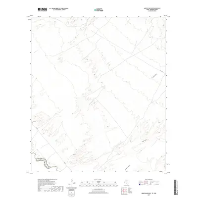
2019 Map of Arroyo Melado
USGS Topo · Published 2019About this map
The Rio Grande serves as the international boundary on this Presidio County sheet, dividing the United States from Mexico along a winding river corridor. This desert landscape is defined by its drainage patterns, notably Arroyo Melado, Arroyo Chillon, and Arroyo Chonogas, which cut across the terrain toward the river. For family history researchers, the Ochoa Cem is a significant landmark situated just off FM 170, which parallels the river. The map also records early 21st-century infrastructure such as Johnson Rd and Garcia Rd, alongside natural features like Spencer Cr. The network of intermittent arroyos and the proximity of the border road provide a detailed look at the rural land use and topography of this remote Trans-Pecos region.
Find a feature on this map
10 named features on this map. Tap any name to fly to it.
Don’t see what you’re looking for? This feature index may not catch every label — zoom into the map to look around manually.
Map Details
Editions of this 2019 Arroyo Melado Map
This is the sole edition of this map. No revisions or reprints were ever made.
Other maps of this area

1896 · Ruidosa
USGS Topo · 1:125,000

1896 · Shafter
USGS Topo · 1:125,000

1959 · Presidio
USGS Topo · 1:250,000

1965 · Presidio
USGS Topo · 1:250,000

1966 · Adobes
USGS Topo · 1:24,000

1978 · La Boquilla
USGS Topo · 1:24,000
1979 · Indio
USGS Topo · 1:24,000
1979 · Presidio West
USGS Topo · 1:24,000

1979 · Presidio East
USGS Topo · 1:24,000

1980 · Arroyo Melado
USGS Topo · 1:24,000