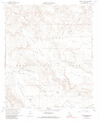
1959 Map of Arroyo Tapiado
USGS Topo · Published 1984About this map
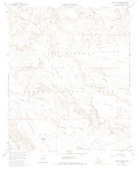
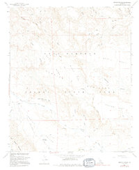
Anza - Borrego Desert State Park dominates this desert landscape, where the historical Old Overland Stage Route cuts through the canyon floor. This survey, photoinspected in the mid-1970s, captures the intricate drainage network of the Carrizo Badlands and the massive plateaus of West Mesa, Middle Mesa, and East Mesa. Life in this arid environment is pinpointed at rare water sources and landmarks like Mesquite Oasis, Palm Spring, and the Well of the Eight Echoes. The map meticulously details the erosional features of the Tierra Blanca Mountains and the convergence of seasonal washes, including Arroyo Seco del Diablo and Fish Creek Wash. These routes and springs serve as critical markers for understanding the historical travel corridors that predated modern infrastructure in the California desert.
Find a feature on this map
33 named features on this map. Tap any name to fly to it.
Don’t see what you’re looking for? This feature index may not catch every label — zoom into the map to look around manually.
Map Details
Editions of this 1959 Arroyo Tapiado Map
6 editions found
Other maps of this area

1931 · Vallecito
USGS Topo · 1:125,000

1931 · Carrizo
USGS Topo · 1:125,000

1939 · Borrego
USGS Topo · 1:62,500

1942 · Barrel Spring
USGS Topo · 1:62,500

1942 · Borego
USGS Topo · 1:62,500

1942 · Carrizo Mtn
USGS Topo · 1:62,500

1942 · Cuyapaipe
USGS Topo · 1:62,500

1943 · Vallecito
USGS Topo · 1:125,000

1947 · Santa Ana
USGS Topo · 1:250,000
1947 · Barrel Spring
USGS Topo · 1:62,500