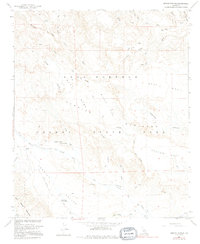
1959 Map of Arroyo Tapiado
USGS Topo · Published 1995About this map
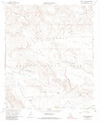
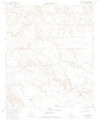
The Old Overland Stage Route traces a historic path through the desert landscape of Anza - Borrego Desert State Park, following the natural drainage of Vallecito Creek. This mid-century survey reveals a network of canyons and washes, including the labyrinthine Arroyo Tapiado and Arroyo Seco del Diablo, which cut through the uplifted terrain of West Carrizo Mesa and Middle Mesa.
Find a feature on this map
37 named features on this map. Tap any name to fly to it.
Don’t see what you’re looking for? This feature index may not catch every label — zoom into the map to look around manually.
Map Details
Editions of this 1959 Arroyo Tapiado Map
6 editions found
Other maps of this area

1931 · Vallecito
USGS Topo · 1:125,000

1931 · Carrizo
USGS Topo · 1:125,000

1939 · Borrego
USGS Topo · 1:62,500

1942 · Barrel Spring
USGS Topo · 1:62,500

1942 · Borego
USGS Topo · 1:62,500

1942 · Carrizo Mtn
USGS Topo · 1:62,500

1942 · Cuyapaipe
USGS Topo · 1:62,500

1943 · Vallecito
USGS Topo · 1:125,000

1947 · Santa Ana
USGS Topo · 1:250,000
1947 · Barrel Spring
USGS Topo · 1:62,500