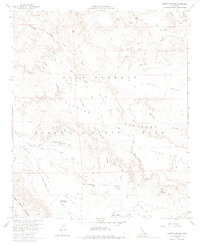
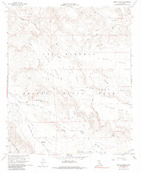
1959 Map of Arroyo Tapiado
USGS Topo · Published 1987About this map
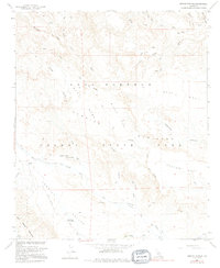
Anza - Borrego Desert State Park encompasses this arid landscape, where the Old Overland Stage Route cuts a historical path across the desert floor. This 1959 survey records the topography before modern recreational development, highlighting the critical importance of water in this environment with labels for Palm Spring, Mesquite Oasis, and the Well of the Eight Echoes. The map illustrates a complex network of seasonal washes and canyons, including the Arroyo Tapiado and Arroyo Seco del Diablo, which drain the elevated plateaus of West Carrizo Mesa and Middle Mesa. To the southwest, the Tierra Blanca Mountains rise above Carrizo Valley, where the Vallecito Sweeney Pass Road provides one of the few established vehicular routes through the terrain. The presence of benchmarked locations like VABM Valle 872 and several seeps indicates the thoroughness of the fieldwork in documenting this remote section of San Diego County.
Find a feature on this map
37 named features on this map. Tap any name to fly to it.
Don’t see what you’re looking for? This feature index may not catch every label — zoom into the map to look around manually.
Map Details
Editions of this 1959 Arroyo Tapiado Map
6 editions found
Other maps of this area

1931 · Vallecito
USGS Topo · 1:125,000

1931 · Carrizo
USGS Topo · 1:125,000

1939 · Borrego
USGS Topo · 1:62,500

1942 · Barrel Spring
USGS Topo · 1:62,500

1942 · Borego
USGS Topo · 1:62,500

1942 · Carrizo Mtn
USGS Topo · 1:62,500

1942 · Cuyapaipe
USGS Topo · 1:62,500

1943 · Vallecito
USGS Topo · 1:125,000

1947 · Santa Ana
USGS Topo · 1:250,000
1947 · Barrel Spring
USGS Topo · 1:62,500