
2013 Map of Arsenic Lake
USGS Topo · Published 2013About this map
Rush Creek meanders through the central plains of Cheyenne County, defining the drainage patterns of this high-altitude landscape. The area is characterized by a precise grid of sectional roads, including Co Road G and Co Road L, which facilitate access to remote livestock operations. Arsenic Lake sits in the northern reaches, a notable water feature in an otherwise dry and rolling terrain. The presence of Larson Ranch in the east highlights the enduring importance of large-scale ranching in this part of eastern Colorado. This survey provides a look at the intersection of natural hydrology and the Public Land Survey System, showing how property lines and local infrastructure like Co Road B adapt to the contours of the High Plains.
Find a feature on this map
24 named features on this map. Tap any name to fly to it.
Don’t see what you’re looking for? This feature index may not catch every label — zoom into the map to look around manually.
Map Details
Editions of this 2013 Arsenic Lake Map
This is the sole edition of this map. No revisions or reprints were ever made.
Other maps of this area

1891 · Arroyo
USGS Topo · 1:125,000

1891 · Kit Carson
USGS Topo · 1:125,000

1893 · Arroyo
USGS Topo · 1:125,000

1893 · Kit Carson
USGS Topo · 1:125,000

1954 · Lamar
USGS Topo · 1:250,000

1958 · Lamar
USGS Topo · 1:250,000

1978 · Galatea NE
USGS Topo · 1:24,000
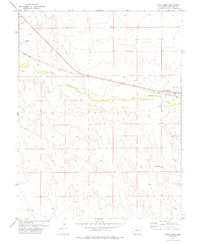
1978 · Wild Horse
USGS Topo · 1:24,000
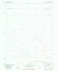
1978 · Galatea
USGS Topo · 1:24,000

1981 · Cheyenne Wells
USGS Topo · 1:100,000