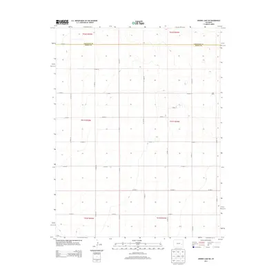
2013 Map of Arsenic Lake SW
USGS Topo · Published 2013About this map
Salle Ranch stands as a primary landmark in this section of the High Plains, situated near the northeastern corner of a vast grid of section roads. The landscape is defined by the straight lines of the Public Land Survey System, with gravel routes like Co Road Z and Co Road 35 creating a rigorous lattice across the prairie. The boundary between Cheyenne Co and Kiowa Co runs horizontally through the northern portion of the map, marking a political division across a terrain characterized by subtle elevation changes and drainages. In the southwest corner, Co-96 provides the main paved transit point, reflecting the persistent reliance on a sparse but organized road network to connect remote ranching interests and local townships in this part of eastern Colorado.
Find a feature on this map
24 named features on this map. Tap any name to fly to it.
Don’t see what you’re looking for? This feature index may not catch every label — zoom into the map to look around manually.
Map Details
Editions of this 2013 Arsenic Lake SW Map
This is the sole edition of this map. No revisions or reprints were ever made.
Other maps of this area

1891 · Arroyo
USGS Topo · 1:125,000

1891 · Kit Carson
USGS Topo · 1:125,000

1891 · Las Animas
USGS Topo · 1:125,000

1892 · Lamar
USGS Topo · 1:125,000

1893 · Arroyo
USGS Topo · 1:125,000

1893 · Kit Carson
USGS Topo · 1:125,000

1893 · Las Animas
USGS Topo · 1:125,000

1954 · Lamar
USGS Topo · 1:250,000

1958 · Lamar
USGS Topo · 1:250,000

1968 · Hawkins
USGS Topo · 1:24,000