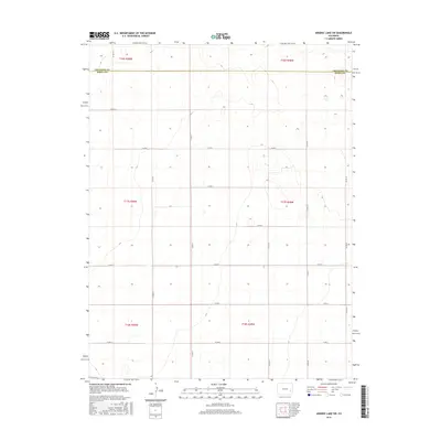
2016 Map of Arsenic Lake SW
USGS Topo · Published 2016About this map
The border of Cheyenne Co and Kiowa Co divides this rural Colorado landscape, defined by a rigid grid of agricultural roads and section lines. Surveyed in the early twenty-first century, the area is characterized by vast open country where movement is dictated by a network of county thoroughfares such as Co Rd 31 and Co Rd 34. The topography is subtle, with gradual elevation changes marked by contour lines that reveal the gentle slopes of the High Plains. This map documents a sparsely populated region where land management and township boundaries, including t17s r49w and t18s r50w, form the primary organizational structure of the territory. The absence of traditional town centers highlights the isolation of these eastern Colorado counties, where connectivity relies on long stretches of gravel like Co Rd Z and Co Rd W.
Find a feature on this map
20 named features on this map. Tap any name to fly to it.
Don’t see what you’re looking for? This feature index may not catch every label — zoom into the map to look around manually.
Map Details
Editions of this 2016 Arsenic Lake SW Map
This is the sole edition of this map. No revisions or reprints were ever made.
Other maps of this area

1891 · Arroyo
USGS Topo · 1:125,000

1891 · Kit Carson
USGS Topo · 1:125,000

1891 · Las Animas
USGS Topo · 1:125,000

1892 · Lamar
USGS Topo · 1:125,000

1893 · Arroyo
USGS Topo · 1:125,000

1893 · Kit Carson
USGS Topo · 1:125,000

1893 · Las Animas
USGS Topo · 1:125,000

1954 · Lamar
USGS Topo · 1:250,000

1958 · Lamar
USGS Topo · 1:250,000

1968 · Hawkins
USGS Topo · 1:24,000