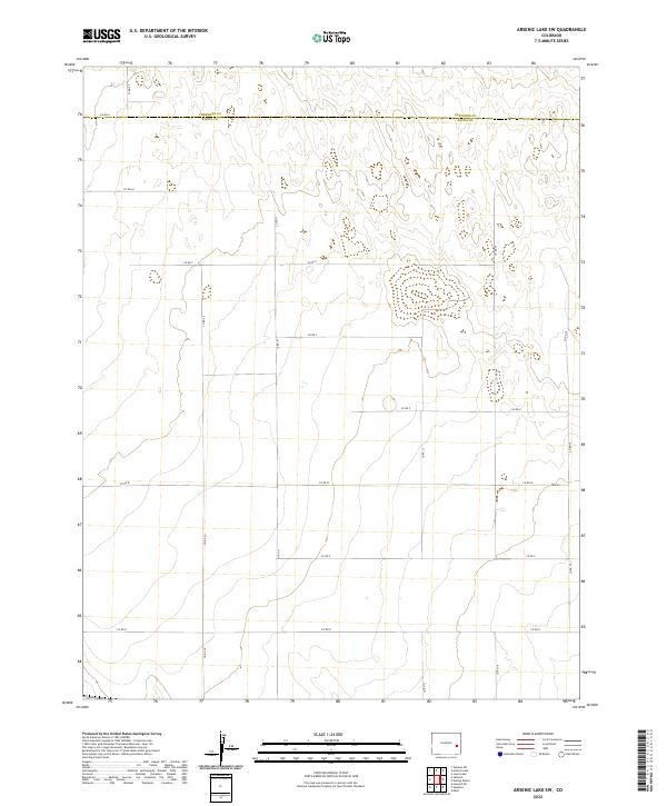
2022 Map of Arsenic Lake SW
USGS Topo · Published 2022About this map
The boundary line of Cheyenne Co Kiowa Co divides the northern portion of this high plains landscape in eastern Colorado. This 2022 survey details a region characterized by its expansive township and range grid, where the topography is defined by subtle elevation changes and the organized geometry of the Public Land Survey System. The map documents a sparse but vital network of section-line roads, including Co Rd 30 and Co Rd 31, which facilitate travel through the vast agricultural and grazing tracts. Occasional depressions and dry basins punctuate the terrain, illustrating the semi-arid character of the region. This modern topographic record is essential for understanding the contemporary division of land across T16S, T17S, and T18S, reflecting a landscape where human infrastructure is dictated by the precise, rectangular logic of the rural road system.
Find a feature on this map
21 named features on this map. Tap any name to fly to it.
Don’t see what you’re looking for? This feature index may not catch every label — zoom into the map to look around manually.
Map Details
Editions of this 2022 Arsenic Lake SW Map
This is the sole edition of this map. No revisions or reprints were ever made.
Other maps of this area

1891 · Arroyo
USGS Topo · 1:125,000

1891 · Kit Carson
USGS Topo · 1:125,000

1891 · Las Animas
USGS Topo · 1:125,000

1892 · Lamar
USGS Topo · 1:125,000

1893 · Arroyo
USGS Topo · 1:125,000

1893 · Kit Carson
USGS Topo · 1:125,000

1893 · Las Animas
USGS Topo · 1:125,000

1954 · Lamar
USGS Topo · 1:250,000

1958 · Lamar
USGS Topo · 1:250,000

1968 · Hawkins
USGS Topo · 1:24,000