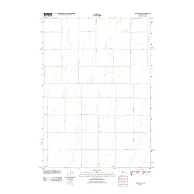
2012 Map of Artesian NE
USGS Topo · Published 2012About this map
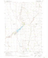
W Redstone Cr and Redstone Cr dominate the drainage patterns of this Sanborn County landscape, cutting winding paths through the agricultural sections of Afton Township. The terrain is defined by a rhythmic grid of rural roads, where avenues like 417th Ave and 423rd Ave intersect with numbered east-west streets from 217th St down to 226th St. This 2012 survey illustrates the persistent section-line road system that has governed South Dakota land use for over a century. Small unnamed depressions and wetlands are scattered between the larger watercourses, such as Jim Cr, showing the natural hydrology that local farmers have navigated through generations of cultivation.
Find a feature on this map
20 named features on this map. Tap any name to fly to it.
Don’t see what you’re looking for? This feature index may not catch every label — zoom into the map to look around manually.
Map Details
Editions of this 2012 Artesian NE Map
This is the sole edition of this map. No revisions or reprints were ever made.
Other maps of this area

1899 · De Smet
USGS Topo · 1:125,000

1953 · Watertown
USGS Topo · 1:250,000

1958 · Watertown
USGS Topo · 1:250,000

1971 · Iroquois
USGS Topo · 1:24,000
1971 · Artesian NW
USGS Topo · 1:24,000
1971 · Pearl Creek Colony
USGS Topo · 1:24,000

1971 · Fedora
USGS Topo · 1:24,000
1971 · Artesian
USGS Topo · 1:24,000

1971 · Artesian NE
USGS Topo · 1:24,000
1971 · Carthage
USGS Topo · 1:24,000