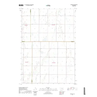
2017 Map of Artesian NE
USGS Topo · Published 2017About this map
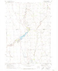
W Redstone Cr and Redstone Cr wind through this prairie landscape at the junction of four South Dakota counties. This section of the James River basin is defined by its precise section-line road network, where routes like 220th St and 418th Ave serve as the primary conduits between agricultural tracts. The map illustrates the convergence of Sanborn, Miner, Beadle, and Kingsbury counties, showcasing a rural terrain where natural drainage patterns of Jim Cr intersect with a rigid human-imposed grid. The density of seasonal wetlands and small water bodies across these townships highlights the area's characteristic glacial till topography, which has dictated the placement of homesteads and field boundaries since the initial land surveys.
Find a feature on this map
25 named features on this map. Tap any name to fly to it.
Don’t see what you’re looking for? This feature index may not catch every label — zoom into the map to look around manually.
Map Details
Editions of this 2017 Artesian NE Map
This is the sole edition of this map. No revisions or reprints were ever made.
Other maps of this area

1899 · De Smet
USGS Topo · 1:125,000

1953 · Watertown
USGS Topo · 1:250,000

1958 · Watertown
USGS Topo · 1:250,000

1971 · Iroquois
USGS Topo · 1:24,000
1971 · Artesian NW
USGS Topo · 1:24,000
1971 · Pearl Creek Colony
USGS Topo · 1:24,000

1971 · Fedora
USGS Topo · 1:24,000
1971 · Artesian
USGS Topo · 1:24,000

1971 · Artesian NE
USGS Topo · 1:24,000
1971 · Carthage
USGS Topo · 1:24,000