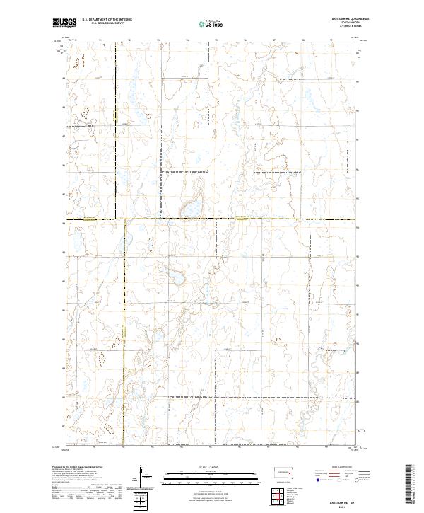
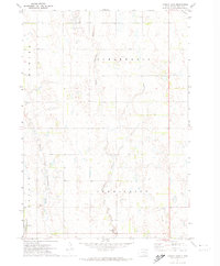
2021 Map of Artesian NE
USGS Topo · Published 2021This historical map portrays the area of Artesian NE in 2021, primarily covering Miner County as well as portions of Sanborn County, Kingsbury County, and Beadle County. Featuring a scale of 1:24000, this map provides a highly detailed snapshot of the terrain, roads, buildings, counties, and historical landmarks in the Artesian NE region at the time. Published in 2021, it is the sole known edition of this map.
Map Details
Editions of this 2021 Artesian NE Map
This is the sole edition of this map. No revisions or reprints were ever made.
Historical Maps of Redstone Township Through Time
16 maps found
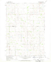
1968 Oldham NW
Miner County, SD
1968 Oldham SW
Miner County, SD
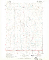
1971 Artesian NE
Miner County, SD
1971 Canova East
Miner County, SD
1971 Howard NE
Miner County, SD
1973 Bitter Lake
Miner County, SD
1973 Canova West
Miner County, SD
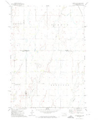
1973 Morris Lake
Miner County, SD
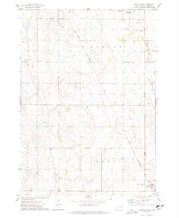
2021 Artesian NE
Miner County, SD
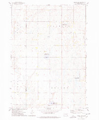
2021 Bitter Lake
Miner County, SD
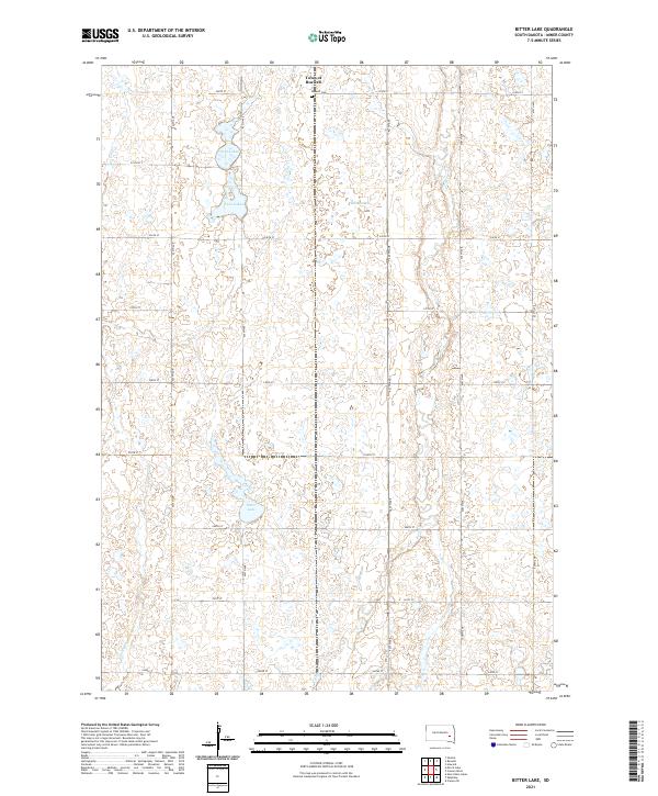
2021 Canova East
Miner County, SD
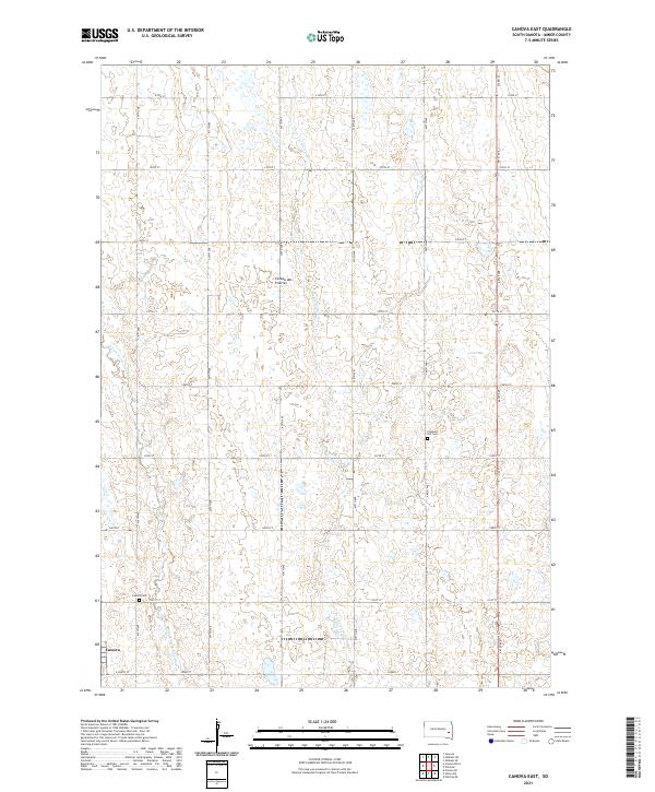
2021 Canova West
Miner County, SD
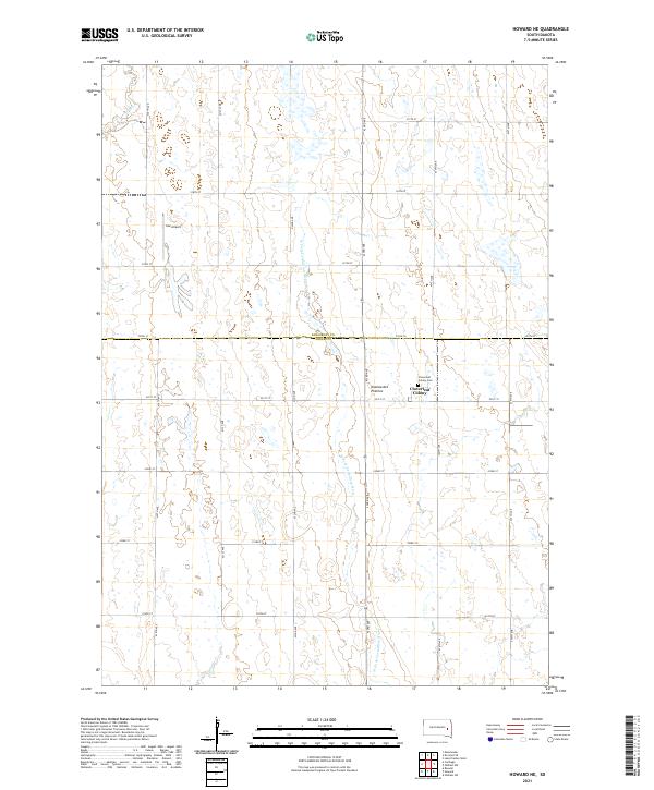
2021 Howard NE
Miner County, SD
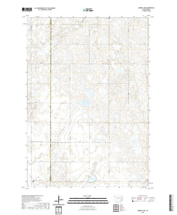
2021 Morris Lake
Miner County, SD
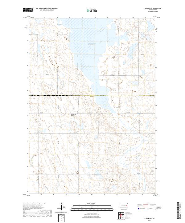
2021 Oldham NW
Miner County, SD
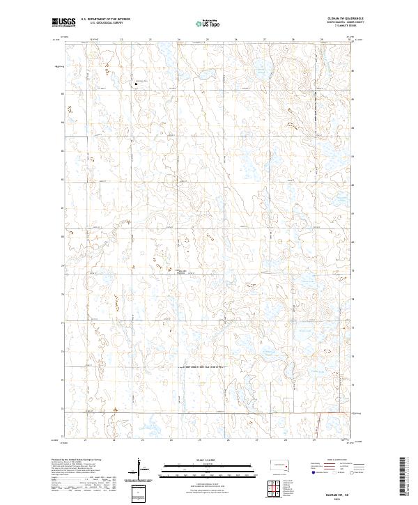
2021 Oldham SW
Miner County, SD