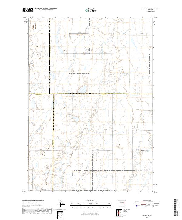
2021 Map of Artesian NE
USGS Topo · Published 2021About this map
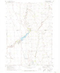
Redstone Cr and its tributaries define the drainage of this prairie landscape at the junction of Beadle, Kingsbury, Sanborn, and Miner counties. The map reflects the enduring power of the Public Land Survey System, with the terrain organized into a rigid grid of section roads including 217th St and 418th Ave. This geometric settlement pattern, typical of the eastern South Dakota plains, dictates the placement of farmsteads and agricultural boundaries throughout t109n r59w and t108n r58w. Occasional wetlands and the meandering course of W Redstone Cr provide the only breaks in the structured section lines, illustrating how local hydrology slightly influenced the otherwise relentless inland road grid in the early twenty-first century.
Find a feature on this map
25 named features on this map. Tap any name to fly to it.
Don’t see what you’re looking for? This feature index may not catch every label — zoom into the map to look around manually.
Map Details
Editions of this 2021 Artesian NE Map
This is the sole edition of this map. No revisions or reprints were ever made.
Other maps of this area

1899 · De Smet
USGS Topo · 1:125,000

1953 · Watertown
USGS Topo · 1:250,000

1958 · Watertown
USGS Topo · 1:250,000

1971 · Iroquois
USGS Topo · 1:24,000
1971 · Artesian NW
USGS Topo · 1:24,000
1971 · Pearl Creek Colony
USGS Topo · 1:24,000

1971 · Fedora
USGS Topo · 1:24,000
1971 · Artesian
USGS Topo · 1:24,000

1971 · Artesian NE
USGS Topo · 1:24,000
1971 · Carthage
USGS Topo · 1:24,000