
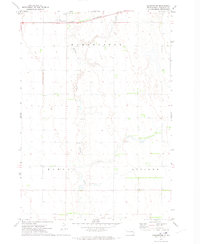
1971 Map of Artesian NE
USGS Topo · Published 1973About this map
West Redstone Creek and Redstone Creek converge in this rural expanse of South Dakota, carving a wandering path through a landscape defined by sectional farming and the intersections of four different counties. The map captures the meeting of Beadle, Kingsbury, Sanborn, and Miner counties, where long-established townships like Afton, Esmond, Redstone, and Belle Prairie organize the prairie into a grid of section lines and small family farms.
Find a feature on this map
11 named features on this map. Tap any name to fly to it.
Don’t see what you’re looking for? This feature index may not catch every label — zoom into the map to look around manually.
Map Details
Editions of this 1971 Artesian NE Map
This is the sole edition of this map. No revisions or reprints were ever made.
Other maps of this area

1899 · De Smet
USGS Topo · 1:125,000

1953 · Watertown
USGS Topo · 1:250,000

1958 · Watertown
USGS Topo · 1:250,000

1971 · Iroquois
USGS Topo · 1:24,000
1971 · Artesian NW
USGS Topo · 1:24,000
1971 · Pearl Creek Colony
USGS Topo · 1:24,000

1971 · Fedora
USGS Topo · 1:24,000
1971 · Artesian
USGS Topo · 1:24,000
1971 · Carthage
USGS Topo · 1:24,000
1971 · Manchester
USGS Topo · 1:24,000