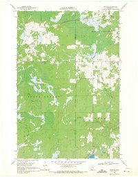
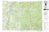
1969 Map of Arthyde
USGS Topo · Published 1971About this map
Arthyde and the small settlement of Ellson anchor this late 1960s survey of the northern Minnesota wetlands. The landscape is dominated by the Solana State Forest, which covers a significant portion of the western half of the map, and is bisected by the Soo Line railroad running through the northern sections. This rail line provided a vital connection for the timber and agricultural interests of the era, passing just north of several marshes and the headwaters of numerous small streams.
Find a feature on this map
16 named features on this map. Tap any name to fly to it.
Don’t see what you’re looking for? This feature index may not catch every label — zoom into the map to look around manually.
Map Details
Editions of this 1969 Arthyde Map
This is the sole edition of this map. No revisions or reprints were ever made.
Other maps of this area

1953 · Duluth
USGS Topo · 1:250,000

1958 · Duluth
USGS Topo · 1:250,000
1961 · Sandstone
USGS Topo · 1:62,500
1961 · Moose Lake
USGS Topo · 1:62,500
1968 · Kroschel NW
USGS Topo · 1:24,000
1968 · Giese
USGS Topo · 1:24,000
1969 · Solana
USGS Topo · 1:24,000
1969 · Split Rock Lake
USGS Topo · 1:24,000
1969 · Ronald
USGS Topo · 1:24,000
1980 · Sandstone
USGS Topo · 1:100,000