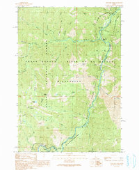
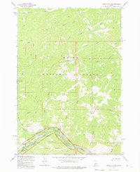
1990 Map of Artillery Dome
USGS Topo · Published 1991About this map
The Middle Fork Salmon River carves through the center of this remote Idaho wilderness, where the borders of the Boise National Forest, Challis National Forest, and Valley and Custer Counties meet. This 1990 survey captures the area within the Frank Church - River of No Return Wilderness, a landscape defined by its deep drainage basins and significant elevation changes, anchored by Artillery Dome.
Find a feature on this map
34 named features on this map. Tap any name to fly to it.
Don’t see what you’re looking for? This feature index may not catch every label — zoom into the map to look around manually.
Map Details
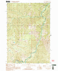
Editions of this 1990 Artillery Dome Map
2 editions found
Other maps of this area

1937 · Yellow Pine
USGS Topo · 1:48,000

1943 · Yellow Pine
USGS Topo · 1:62,500

1957 · Challis
USGS Topo · 1:250,000

1960 · Challis
USGS Topo · 1:250,000

1961 · Greyhound Ridge
USGS Topo · 1:62,500

1961 · Chinook Mtn
USGS Topo · 1:62,500

1963 · Challis
USGS Topo · 1:250,000
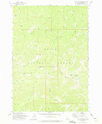
1973 · Big Chief Creek
USGS Topo · 1:24,000
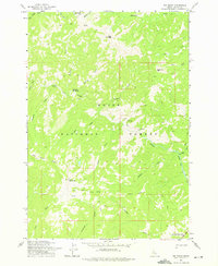
1973 · Big Baldy
USGS Topo · 1:24,000
1973 · Pungo Mountain
USGS Topo · 1:24,000