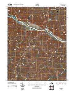
2010 Map of Arvonia
USGS Topo · Published 2010About this map
The James River corridor defines the geography of this central Virginia landscape, where several distinct communities sit along its banks and tributaries. Bremo Bluff and New Canton overlook the river near the John H Cocke Memorial Bridge, while the settlement of Arvonia serves as a central hub further inland. The map documents an industrial presence near the water, specifically the Solite Corporation Dam and industrial features like the New Ash Pond.
Find a feature on this map
41 named features on this map. Tap any name to fly to it.
Don’t see what you’re looking for? This feature index may not catch every label — zoom into the map to look around manually.
Map Details
Editions of this 2010 Arvonia Map
This is the sole edition of this map. No revisions or reprints were ever made.
Other maps of this area

1891 · Palmyra
USGS Topo · 1:125,000

1895 · Palmyra
USGS Topo · 1:125,000

1897 · Palmyra
USGS Topo · 1:125,000
1943 · Scottsville
USGS Topo · 1:62,500
1946 · Scottsville
USGS Topo · 1:62,500

1947 · Roanoke
USGS Topo · 1:250,000
1950 · Dillwyn
USGS Topo · 1:62,500
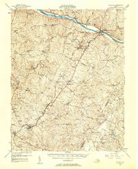
1958 · Dillwyn
USGS Topo · 1:62,500

1959 · Roanoke
USGS Topo · 1:250,000
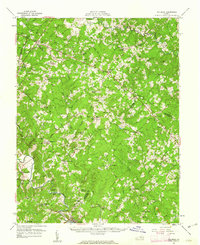
1960 · Columbia
USGS Topo · 1:62,500