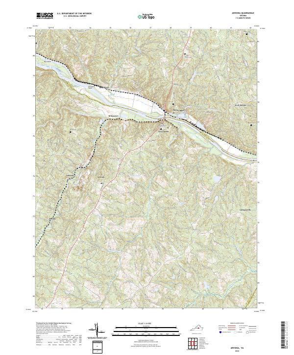
2022 Map of Arvonia
USGS Topo · Published 2022About this map
The James River defines the central character of this Buckingham County landscape, carving through the terrain alongside settlements such as Bremo Bluff and New Canton. This area is marked by a deep-rooted rural infrastructure, where the confluence of the Slate River and the James historically supported river-side commerce. The topography is dotted with family and church-related landmarks, including the Trinity Presbyterian Church Cem and the Creasy-Bowles Cem, which serve as vital touchpoints for genealogical research.
Find a feature on this map
86 named features on this map. Tap any name to fly to it.
Don’t see what you’re looking for? This feature index may not catch every label — zoom into the map to look around manually.
Map Details
Editions of this 2022 Arvonia Map
This is the sole edition of this map. No revisions or reprints were ever made.
Other maps of this area

1891 · Palmyra
USGS Topo · 1:125,000

1895 · Palmyra
USGS Topo · 1:125,000

1897 · Palmyra
USGS Topo · 1:125,000

1943 · Scottsville
USGS Topo · 1:62,500

1946 · Scottsville
USGS Topo · 1:62,500

1947 · Roanoke
USGS Topo · 1:250,000

1950 · Dillwyn
USGS Topo · 1:62,500

1958 · Dillwyn
USGS Topo · 1:62,500

1959 · Roanoke
USGS Topo · 1:250,000

1960 · Columbia
USGS Topo · 1:62,500