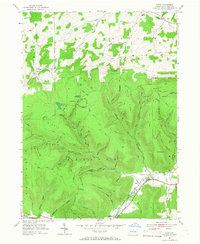
1954 Map of Asaph
USGS Topo · Published 1966About this map
Hessel Gesser Millstone stands as a notable landmark on the slopes of Middle Ridge, anchoring a landscape defined by deep Pennsylvania hollows and high summits. This mid-century survey captures the settlement at Asaph and the nearby Ansonia Sta along Marsh Creek, where the B & O railroad and the Roosevelt Highway parallel the waterway. The terrain is marked by a sophisticated network of fire lookouts, including the Goodall Fire Tower and Fire Tower Baldwin, situated to monitor the dense timberlands of the Shippen and Chatham areas. Diverse features such as Black Ash Swamp and Big Rocks contrast with the cultivated clearings near Little Marsh. The drainage patterns, including the numerous branches of Asaph Run and Straight Run, illustrate the complex topography that historically directed the paths of early roads and timber trails like the Log Slide Trail.
Find a feature on this map
78 named features on this map. Tap any name to fly to it.
Don’t see what you’re looking for? This feature index may not catch every label — zoom into the map to look around manually.
Map Details
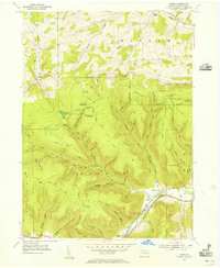
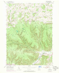
Editions of this 1954 Asaph Map
Other maps of this area

1899 · Gaines
USGS Topo · 1:62,500

1900 · Gaines
USGS Topo · 1:62,500

1900 · Elkland
USGS Topo · 1:62,500

1946 · Tiadaghton
USGS Topo · 1:24,000

1946 · Antrim
USGS Topo · 1:62,500

1946 · Antrim
USGS Topo · 1:24,000

1947 · Galeton
USGS Topo · 1:62,500

1947 · Marshlands
USGS Topo · 1:24,000

1948 · Antrim
USGS Topo · 1:24,000
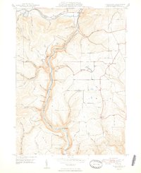
1948 · Tiadaghton
USGS Topo · 1:24,000
Featured Places
- Clymer Township, PA
- Gaines Township, PA
- Chatham Township, PA
- Delmar Township, PA
- Azelta, Clymer Township